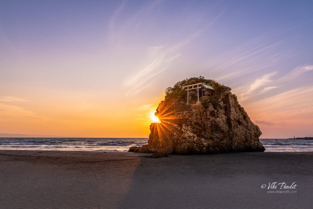
Inasahama Beach
Inasahama is one of the most sacred Japanese beaches located in Japan where Gods are said to have descended to make it their own country on Earth.
Inasahama is one of the most sacred Japanese beaches located in Japan where Gods are said to have descended to make it their own country on Earth.
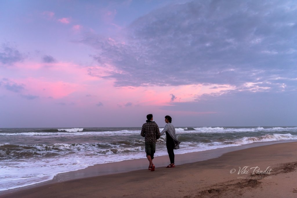
We sat under magical skies, immersed in the music of the strong waves of Bay of Bengal. The historical town of Mahabalipuram is an enchanting place to explore age old stone carvings and century old temples, but in-between the sweaty hikes, one can cool their tired heels at the beautiful beaches along the east coast.

We drive to Mandvi Beach to laze out in the winter Sun. The beach is a curving stretch of yellow sand fringed by green waters, with windmills on one side and an uninterrupted view of the Arabian sea on the other. The sea is safe for swimming and the beach is ideal for walking. The beautiful beach offers many fun activities including Camel rides, bubble floats, speedboats and even para-sailing. But for us peace hunters, a few steps away there is the silence of the gentle waves and the occasional herons flying by.

We traveled to Enoshima today, a small offshore island, about 4 km in circumference, at the mouth of the Katase River which flows into the Sagami Bay of Kanagawa. I was there to photograph Mt. Fuji, which I have heard looks stunning from the beach, but unfortunately the foggy weather foiled our attempts to catch the unique scene. However the beach is still an amazing place to spend an evening with your loved one.
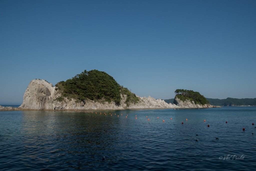
We went down to Miyako to witness the uniquely-shaped islands of Jodogahama Beach. The stunning landscape of jagged white rocks protrusions as well as the beautiful coastline make it a photographers delight.

We walk down to Aoshima beach, one of the most beautiful beaches in Miyazaki. Facing the beach is Aoshima Island, which appears like a pendant from the sky. The island is known for its subtropical plants and straight lines stones called devil’s washboard or Oni no Sentakuita.
Loading more posts...