Sunset at Lake Shinji

Lake Shinji is a brackish water lake in the northeast area of the Shimane Prefecture in Japan. It is the seventh-largest in Japan, with a circumference of around 48 kilometers. The lake is enclosed by the Shimane Peninsula to the north, and the Izumo and Matsue plains to the west and east respectively.

We were staying in the city of Nara. From this western city, we were traveling all the way to Izumo for a short tour of the heritage city. The plan was to stop for a break at Lake Shinji and enjoy the beautiful sunset, which is very popular for.

Getting to Matsue from Nara

In the early morning, I and my wife, Mani, caught the local train from Nara to Osaka. From Shin-Osaka Station, we took the Shinkansen to Okayama and from there we switched to the Yakumo 16 Limited Express bound for Matsue. The total time for the ride was about 4 hours. Since we were carrying our JR Passes, the full ride didn’t cost us anything.

Please note JR Passes are not entertained on Nozomi and Mizuho Shinkansen trains.

The ride to Matsue of course is something to talk about in itself. The train ride passes through deep forests and countless rivers, nestled in the mountains. In between, we would stop at small stations surrounded by a handful of cute houses.

For many of the Japanese too, this land of untouched beauty remains hidden, its charms, traditions, and secrets only known to the few who make the journey across the mountains, taking one far away, down through the ages to a deep, spiritual world of myth and folklore.

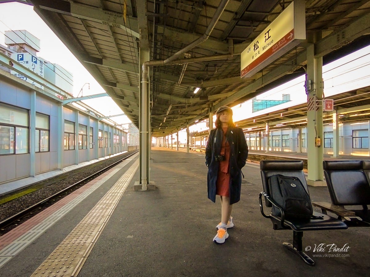
After traveling along the beautiful Shimane countryside for a good part of the day, we reached Matsue Station at around 4 pm. During winter, it gets dark quite soon. It seemed a bit tight but we quickly stored our luggage in a locker at the station and caught a local to the Nogi Station.

From there we literally ran to the edge of the lake. If you love walking, you can also walk to the lake, but we were a little short of time, so we chose to take the train.

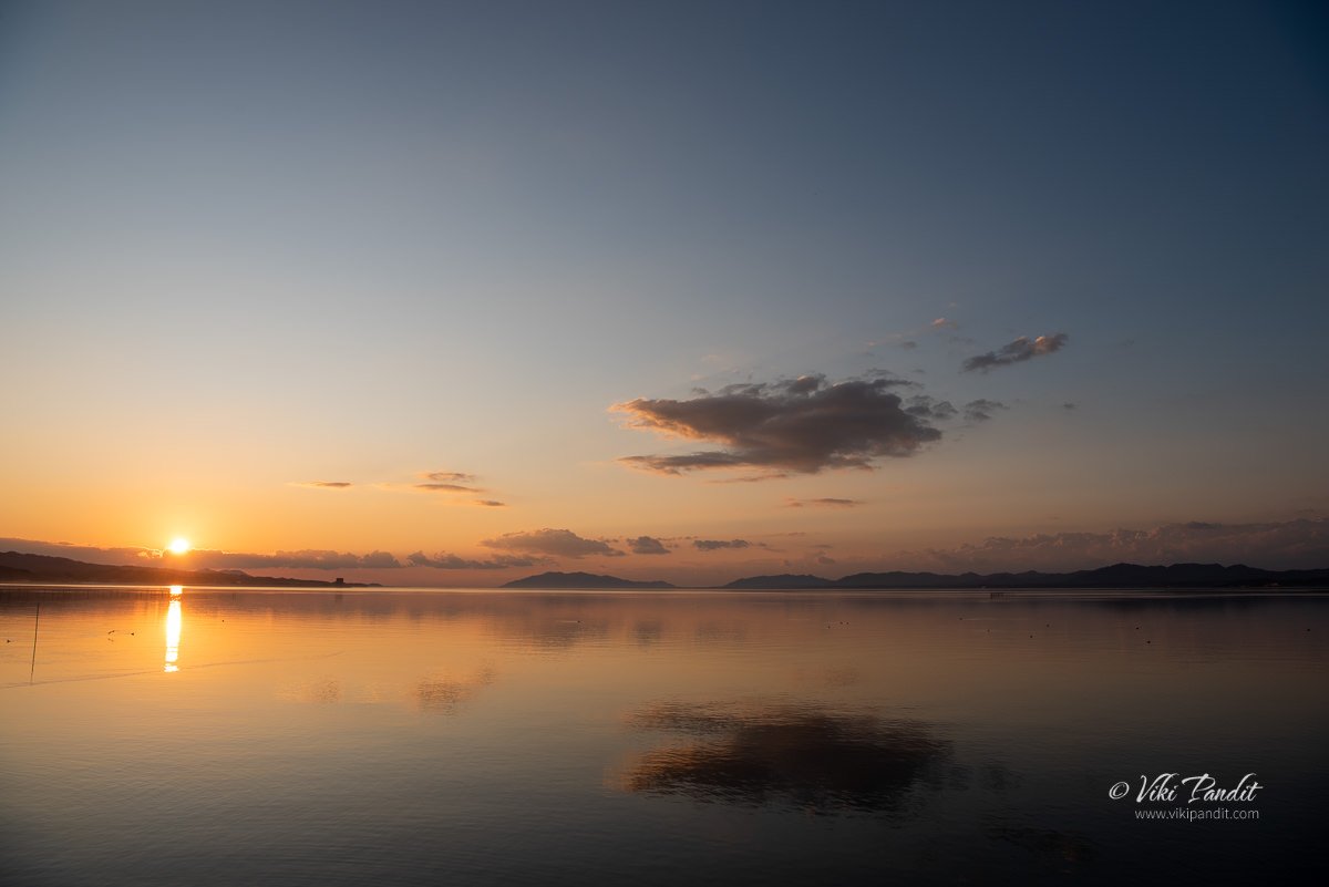
By the time we reached the lake, the Sun was just about to set. Hurriedly we walked to the sunset point from where it is the most beautiful to catch the dying rays of the sun over the lake. The view-point is marked on Google Maps, so a quick search will guide you to the exact place.

Lake Shinji

Lake Shinji is connected to the Sea of Japan via Nakaumi Lagoon. This causes the lake to have higher salinity than freshwater, but not as much as seawater. This results in an abundance of aquatic life, such as whitebait, eel, sea bass, and the most famous Lake Shinji delicacy, the Shijimi clam. The Shijini shellfish are caught using a “joren“, a tool unique to Lake Shinji, which is made up of a basket tethered to a rake. The shellfish is often referred to as one of the ‘Shiji-ko Shitchin‘, the “Seven Delicacies of Lake Shinji.”

Origins of Lake Shinji

The lake is assumed to have been formed about 10,000 years ago. The birth of present-day Lake Shinji was a major event in the history of the Izumo region. In the ancient book “Izumo-no-Kuni Fudoki,” written around 1200 years back, referred to the western bay as “Kando-no-mizumi” and the eastern part was mentioned as the Shinji Lake.

According to paleontologists, fluvial deposits from the Hii River may have literally cut off the sea from the Shinji Lake. Fed by numerous streams from the surrounding mountains, water from Shinji began to flow eastward to Nakaumi Bay. However, over a period of centuries, the rising water levels in the east, reversed the direction of flow thus transforming it into a brackish-water lake.

Yomegashima Island

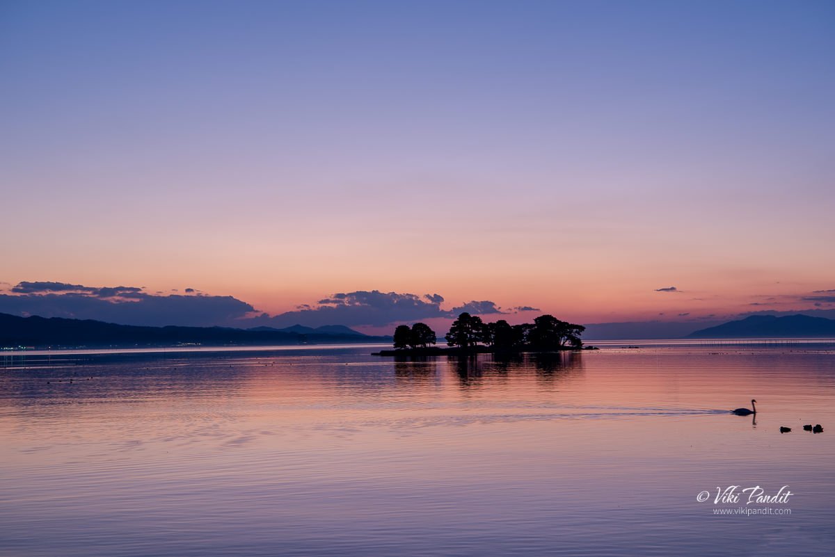
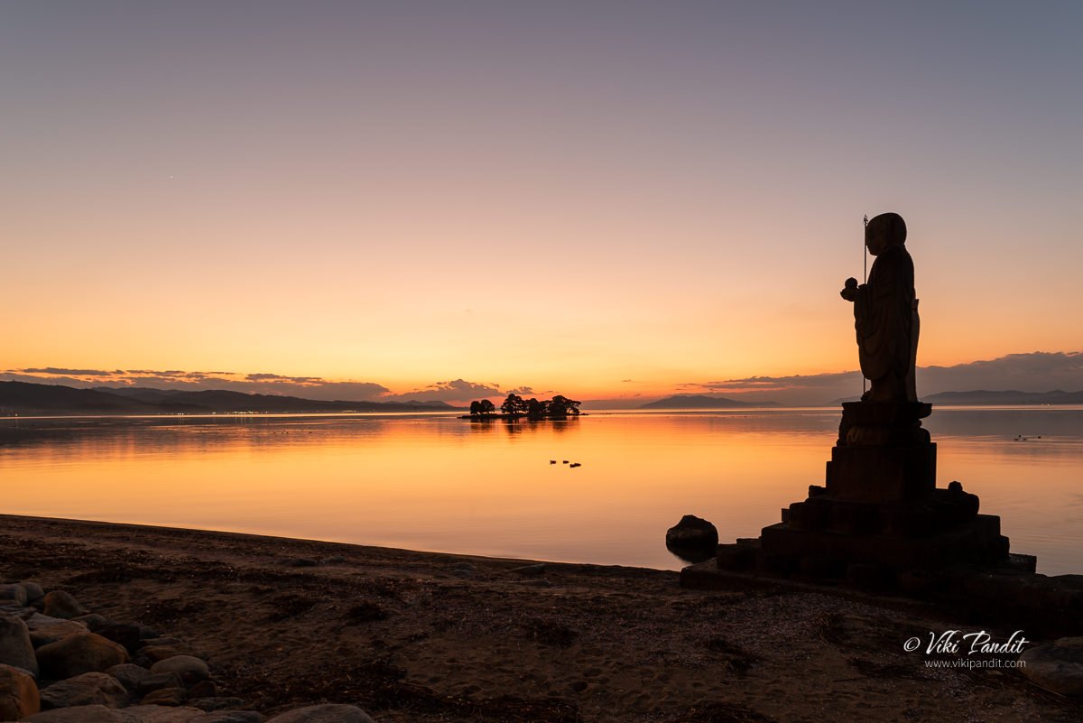
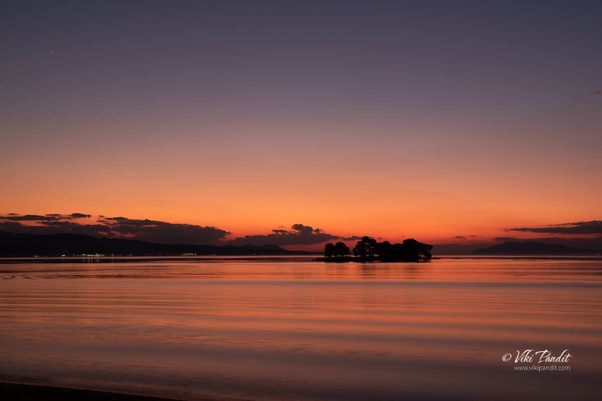
The Sun had already set behind the mountains. The beauty of the clouds, sky, and lake together has been a subject of fascination for many literary artists over the years. If you didn’t know already, Lake Shinji was chosen as one of the best 100 sunset points of Japan.

The small island you see in the middle of the lake is known as Yomegashima. Back in the 8th century when the Chronicles of Ancient Izumo was being compiled, it used to be called “Snake Island,” the reasons for which I am not sure of.

Stretching 110 meters east to west and 30 meters across, the island near the southeast bank of the lake and looks like a round slab of land that floats on the surface of the water. If you are able to zoom into the image above, you will be able to see a Torii among the pine trees. Being a sanctuary dedicated to the goddess Benten, the sacred Torii gate sits at one extremity of the island.

Myths of Lake Shinji

There is a myth attached to this island in the middle of the lake. It is said that a young bride was married off to a cruel family across the lake, and unable to bear their abuse, she decided to run away and go back home. In her hurry, she took a short cut across the lake that had frozen on the surface, but just as she was close enough to see the lights of her home village, the thin ice broke and she fell in and drowned in the icy waters. The gods took pity on her that they made the island spring forth in her honor. Hence, it is also called “Bride Island.”

The only time you can set foot on this island is in October when local guides can take you there explaining the legendary aspects of the island to visitors. You can take your time to wander about its 240-meter circumference.

If you are in Matsue in October, don’t miss the perfect silhouette of the Yomegashima island against the backdrop of the sunset once it is illuminated at night.

In the old times, the locals were a bit worried that the island might be lost to the waves of the lake and so the island has been protected by rows of Jodei-ishi, designed by Kobayashi Jodei (1753-1813), a famous craftsman of the Matsue domain in the Edo period when Matsue was actively ruled by the Lord Matsudaira Fumai. Kimachi stone was used in creating theses Jodei-ishi, which is still taken today from the Kimachi area of southern Matsue to carve into lanterns are other such decorative items.

Kimachi stone is a special sandstone that is made up of volcanic ash and sand that had hardened over time. It is specifically found in the Matsue city’s Kimachi district near Shinji lake. The stone has a certain softness that helps in carving it more easily to create intricate details from the stone. Since the Meiji era, the stone works made from kimachi stone have been regarded as a necessity in landscape gardening, interior decoration, and other stone works throughout Japan.

Jizo Statues at Lake Shinji

After capturing a few shots of the Yomegashima Island, we walked further north towards a place where a couple of Jizo statues have been installed beside the lakefront promenade. The Sun was already down and it had begun to get cold very quickly.

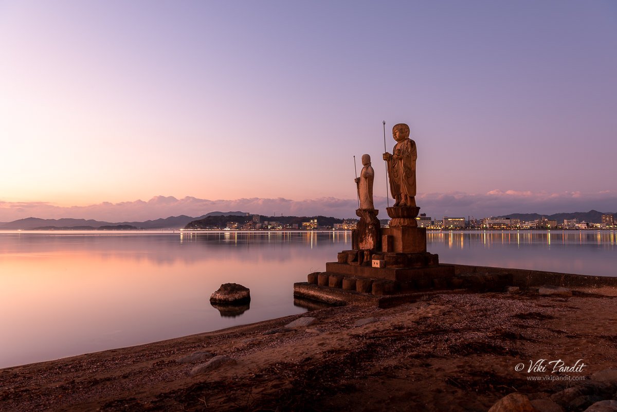
As we neared our next destination, we could see some of the locals were gathered at its side basking in the beautiful evening. The larger Jizo statue on the left is made of Kimachi stone and is called “Sodeshi Jizo“, and the smaller one is made of Mikage stone and is called “Sekkai Jizo“. If you look closely, you can immediately notice the difference in detailing between the two different stone types. This pair of Jizo statues by the shore of the lake is almost as iconic as Yomegashima itself in Matsue’s famous sunset scenery.

The Jizo is a deity fondly loved by Japanese people. You will find Jizo statues mostly in Buddhist temples and graveyards. Sometimes you can also spot them standing at the side of the road in the countryside or at the corner of some streets in the cities. The statues in alignment with the Yomegashima island make for a wonderful composition.

It is believed that Jizo protects the souls of unborn babies and children who have passed away. In Japanese beliefs, it is thought that the soul of children who die before their parents, consequently bring suffering to their parents and cannot cross the river to the afterlife.

The Jodei-ishi that surrounds and protects Yomegashima were also placed around the Sodeshi Jizo to protect the base of the statue from the waves of the lake. As the natural lights dimmed out, the lights from the castle town of Matsue started to shine. By this time it was really cold. Some of the locals who had come to view the sunset were starting to disperse,

Within a few minutes, the daylight was totally gone. I got one last shot of the island in the middle of the lake before we started to walk to Matsue Station. I recall it was quite difficult to manage the buttons of the camera with the gloves on. I sure was glad we had bought a pack of kairo (hand warmers) from a local Daiso store in Nara just a day before we set off for Matsue.

The roadside lights had come on throwing a gentle yellow light over the promenade. Almost everyone had left by that time. The waves on the lake had also picked up some energy riding on the windy breeze. I zipped up my jacket and packed up my camera gear, all set for the walk to Matsue Station.

On the way, we passed the Matsue Art Museum which was obviously closed by then, but the illuminations were still on. There is lots to explore at the museum as well, but maybe some other time. On the way back to the Station, I guess I made a wrong turn and got us lost for a few minutes. With a little help from Maps, we were back on track in no time.

Once we reached Matsue Station, we caught the next express train to Izumoshi Station. The express train only takes about half an hour to reach Izumoshi Station compared to the local, which might cost you around an hour. I was a bit tired from the long travel and looking forward to a hot bath once I reached the Hotel.

What makes Lake Shinji particularly famous is its sunset view. There are many viewing spots around the lake, including the grounds of the Shimane Art Museum, or along the lakefront promenade. You can also enjoy the view from the lake on a pleasure boat, Hakucho for a sunset cruise.

Thanks for reading! From tomorrow we begin our exploration of Izumo, once considered to be the realm of the Gods, with a visit to the Izumo Taisha Shrine. Please leave a comment if you liked my story or need any information regarding traveling to Shimane. If you would like to connect, you can also follow me on Instagram.

How big is Lake Shinji?

Lake Shinji is the seventh largest lake in Japan with a circumference of 48 kilometres

What is the best time to visit Lake Shinji

Lake Shinji is most popular for its sunset views. If you visit in October you will have the extra advantage of seeing the island in the center of the lake as its illuminated towards the evening.

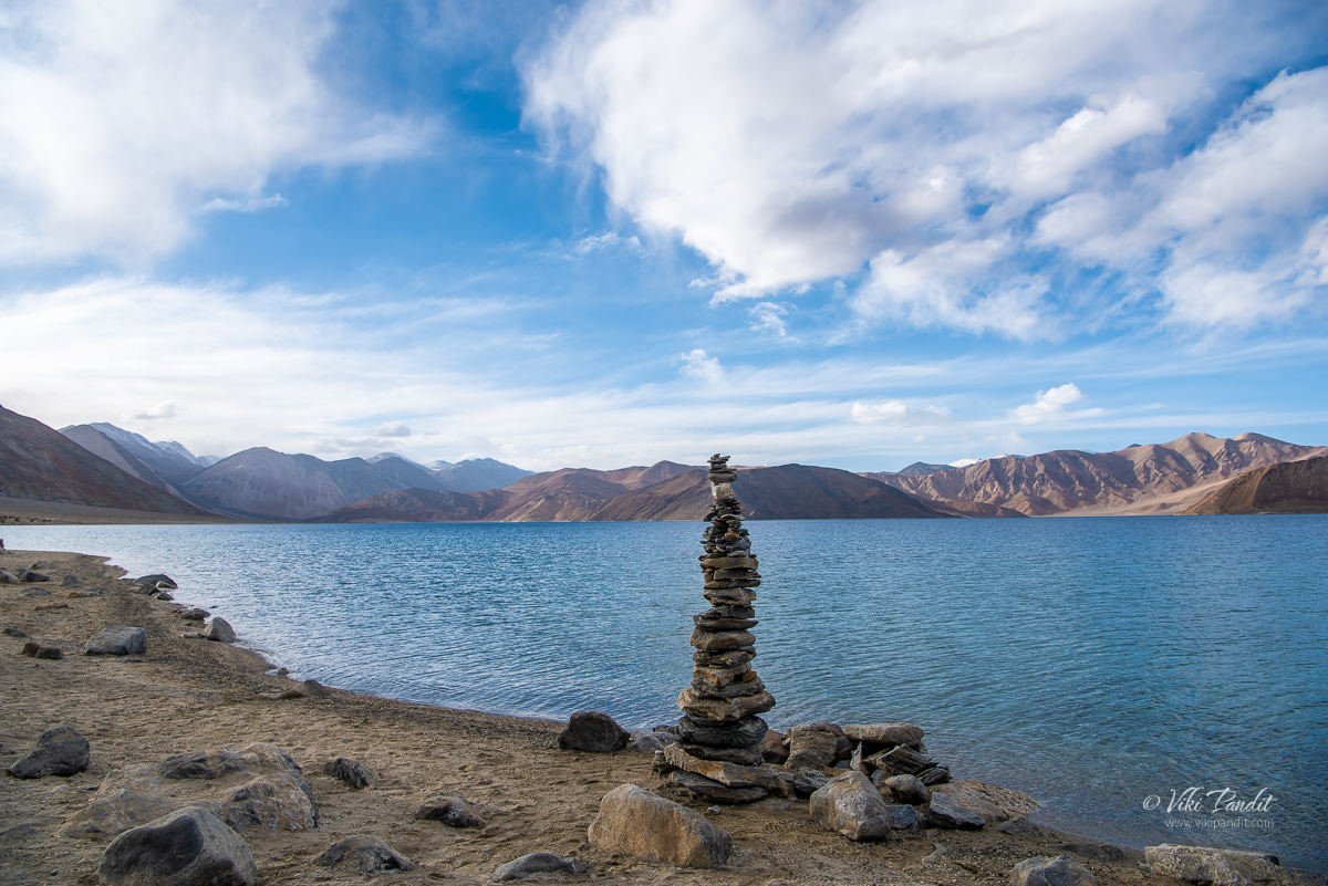
Blue waters of Pangong Tso

The journey to Pangong Tso starts from Nubra Valley. We had a lovely day among the sand dunes of Nubra.

Drive from Nubra to Pangong Lake

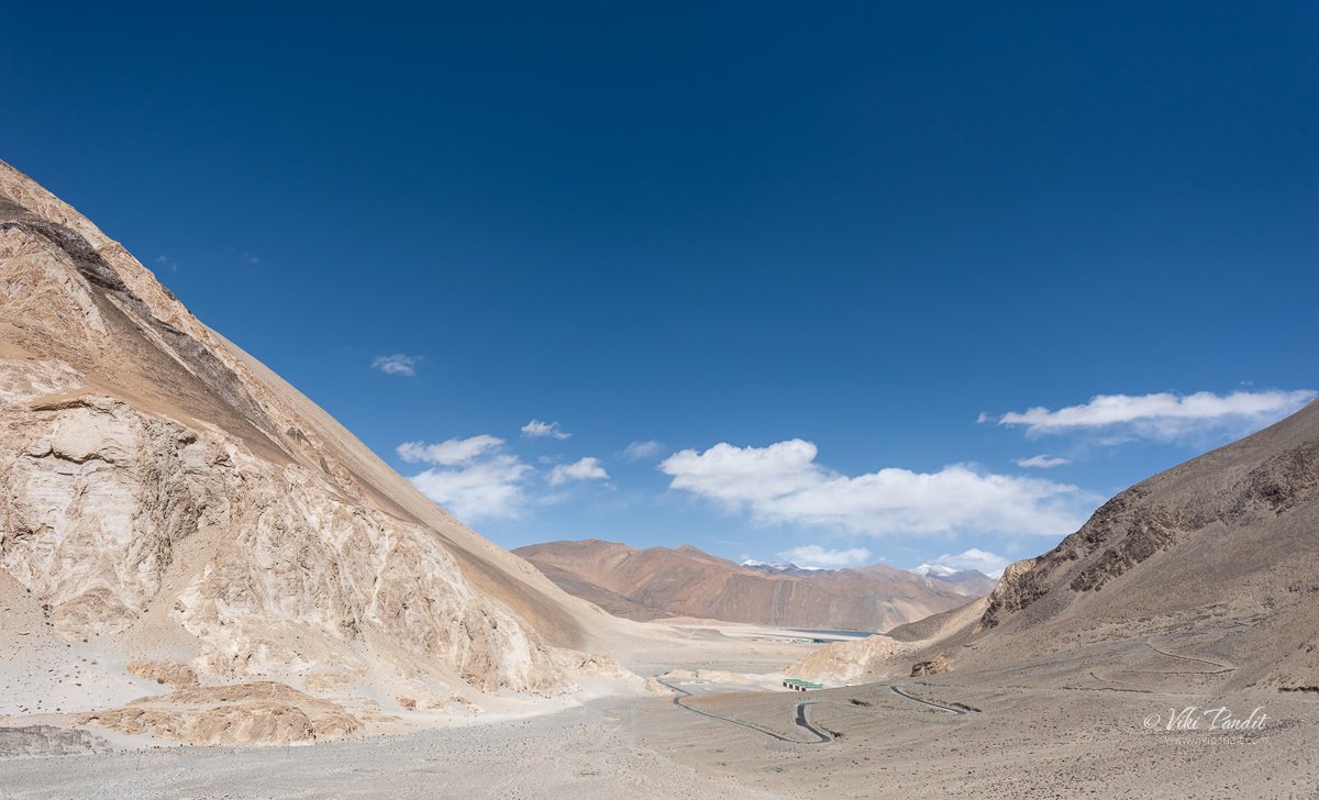
The drive from Nubra to Pangong takes you through a wide varied landscape. The Shyok river stays with us for most part of the ride.

Once the river leaves us and goes on its own way near Durbuk, the road too becomes quite bad. In fact, at certain points, it was almost impossible to make out where the road was.

After a few hours we reached the Changthang Cold Desert Wildlife Sanctuary. This is the only place where you can see some vegetation. I caought some Pashmina goats grazing happily in the meadows

This little guy almost head butted me… he was probably taking care of the herd.

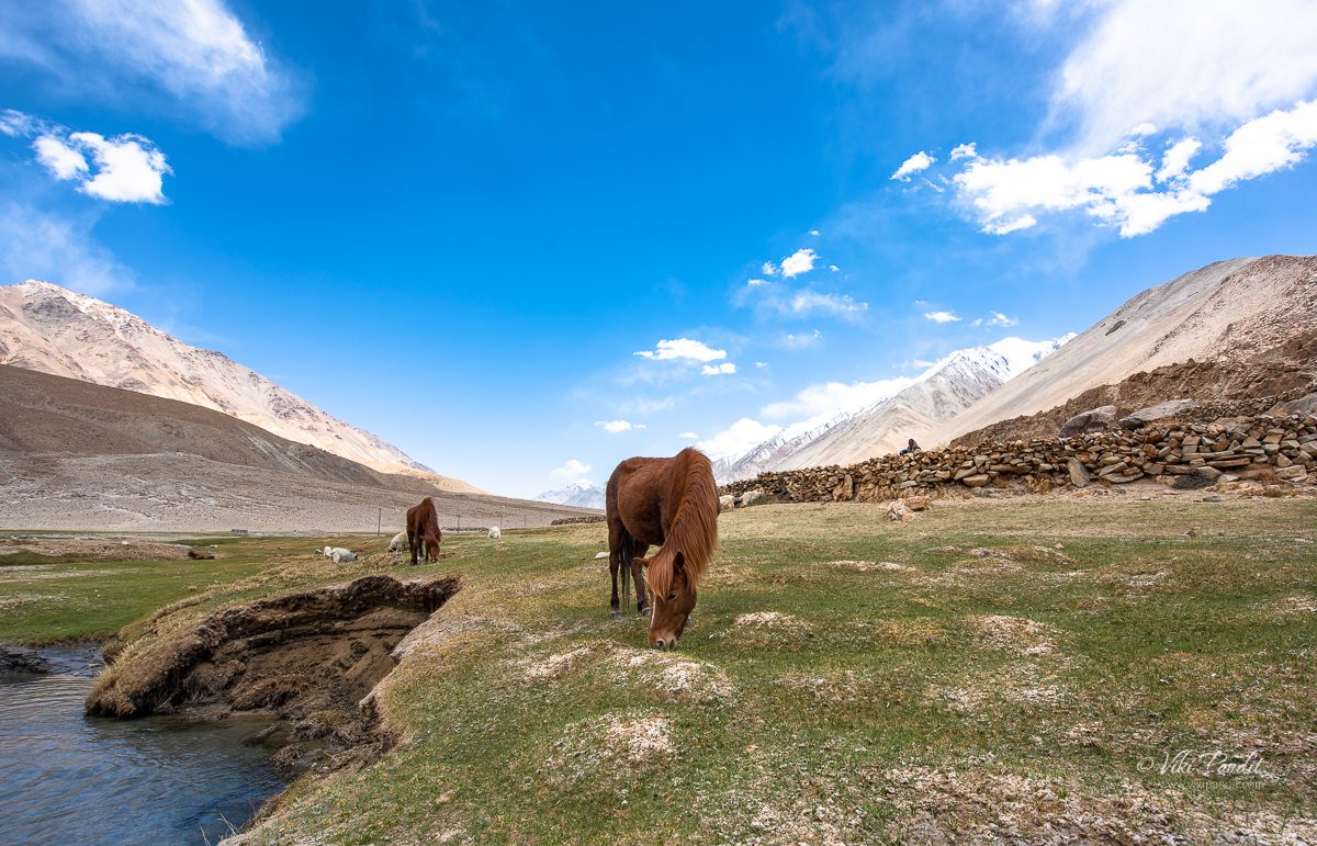
You can also find some horses lazying around in the cool breeze.

The roads near the santuary are well maintaned. The landscape also changes to a more pleasant view.

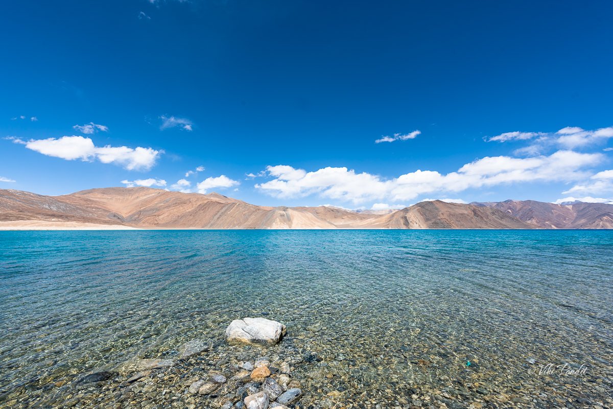
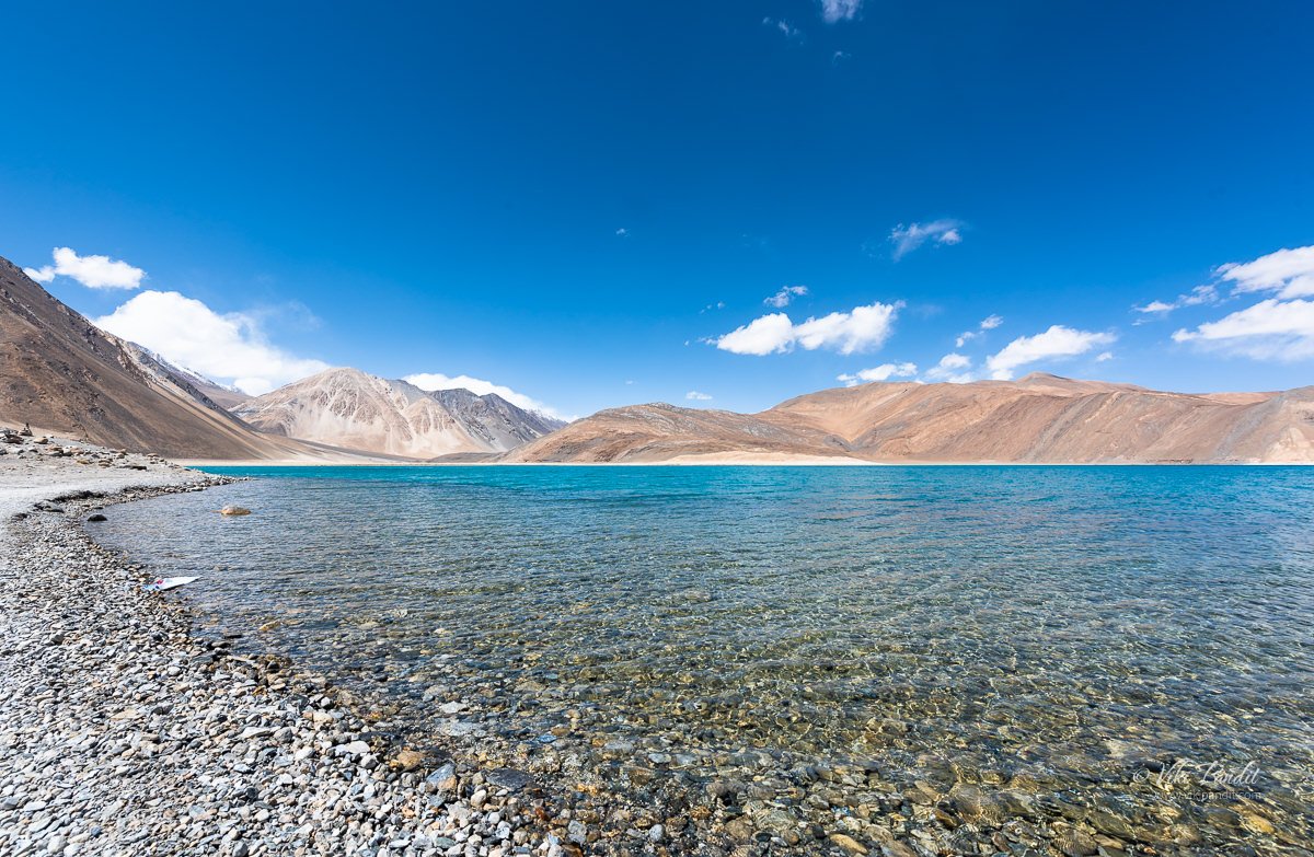
And then we see the first views of the Pangong Lake.

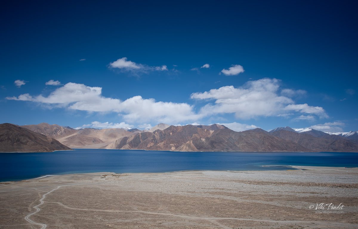
Pangong Viewpoint

We were staying in Spangmik village, but we first hit the popular viewing point, so we stopped there for a few minutes. It was around 2 pm and it was perfect to capture the beautiful lake in the brilliant light.

We moved around the edge of the huge lake taking shots of the crystal clear waters of the lake.

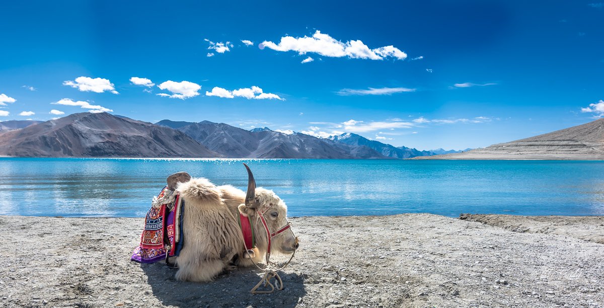
You can find Yaks available for rides if you want one.

You can see the changing colors of the water in the lake. It is greening towards the edges and more blue as you move your eyes towards the center.

After capturing some really amazing photos of the lake we moved on towards Spangmik village.

On the way we took more pictures of the mesmerizing lake.

Just before reaching the village, we passed an area with wide open space in front of the lake. Tsering, our chauffeur informed us that he will be taking us there in the evening, which is another wonderful place to enjoy the breathtaking scenery.

By 3 pm we had reached our lodgings at Spangmik.

It was May and still the mountains tops were covered in Snow.

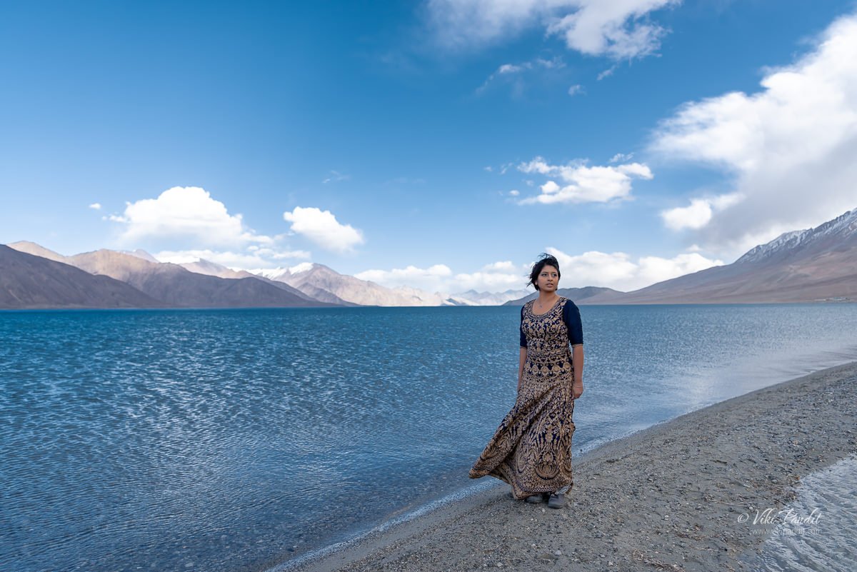
After refreshing ourselves, we were ready for the second round. As promised Tsering took us to this lovely viewpoint from where you could capture the lake in its full beauty.

Mani modeled for me as I captured some amazing potraits. It was only 4 pm but the breeze had picked up and it was lethally cold. I was somewhat safe in my blazer, but Mani was having a tough time in the cold.

I quickly captured a shot of us before the cold really started to hurt.

With the Sun behind the mountains, the lake had turned into a deep blue color.

Shivering from cold, we hurried back to our tents. The tents lie at the edge of the banks. After a warm tea, we walked around in the evening.

The strong chilly breeze drove us inside the comfort of the tent. The night was extremely cold and even though I want to capture the stars over Pangong Tso, my body was too cold to come out.

In hind-sight, I should have stayed back for a day, but with a tight schedule, we had to move back to Leh the next day.

Next Morning…

The light is extremely bright in the mornings, so carry your eye shades.

We passed the lovey viewpoint we stopped at the day before for a few minute, but the light was too strong to capture good photos.

By 10 pm we are back on the road to Leh.

The lady of Lake Tazawa

The beauty of Japan lies in its peaceful lakes, gardens and mountains. Today we head out to a mystical lake in Akita. Lake Tazawa is a caldera lake in the city of Semboku in Akita Prefecture. With a depth of 423 meters, it has the distinction of being the deepest lake in Japan, but more interestingly the lake finds a reference in the folklores of Tatsuko, a young maiden from In-nai, who wishing for everlasting youth and beauty, is said to have been cursed and turned into a dragon on the shores of this very lake. Today in her remembrance, a golden statue of Tatsuko created by Yasutake Funakoshi in 1968, stands at the edge of the lake with her back to the clear blue waters, a figure of purity, love and beauty.

Aomori to Tazawako

It was a beautiful sunny day. After a light breakfast at the hotel APA, we walked down to Aomori Station. APA Hotel is very conveniently located near the Matsu bay and the JR Aomori Station, and is highly recommended if you are staying in Aomori. 

From Aomori we took the 9 am Tsugaru Limited Express to Akita.  

The train was mostly empty all the way.

The journey takes around 2 hours and 45 minutes and runs through beautiful wooded mountains and endless farmlands.

It was 1 pm by the time we reached Akita. We dropped off our luggage at the Toyoko Inn, where we would be staying for the night in Akita, and then after a quick lunch, took the Akita Shinkansen Komachi to Tazawako Station. It takes about an hour to reach Tazawako Station from Akita.

At the Tazawako Station, the lady at the tourist information corner helped us buy round trip tickets on the Ugo Kotsu bus. The bus tickets costs 1200 Yen and it takes visitors on a scenic bus trip around the lake to three popular spots along the circumference of the huge lake. The bus runs at fairly regular intervals and we were at the lake-front in 20 minutes.

Lake Tazawa

Our first stop was the lake’s eastern viewing point which is surrounded by a big parking area. On the left one can find many shops, restaurants and rental bicycle stores. Across the road, on the other side, one can find the sightseeing boat pier. The sightseeing boats operate from late April to early November and taking visitors up to the Tatsuko statue and back. It was early afternoon yet the sun had disappeared behind thick clouds and a strong breeze followed.

We decided against the boat ride on the lake which at the moment looked pretty precarious in the strong winds. We spent some time walking along a narrow path by the lake watching some daredevils on water-mobiles jetting across the lake. In summer, the area is popular for water sports such as sail-boating and jet-skiing. Many outdoor leisure spots like a ski area and camping sites are close by. 

Lake Tazawa was named in the Meiji period when the mainland Japanese arrived here and settled in its surrounding foothills. However, the lake was known to the Ainu people long before, who named it Tapukopu which means “hill with a circular top.”

After some time, we went back to the bus stop and waited for the next bus as we munched on a snack of warm French fries from one of the local eateries. The buses come at regular intervals and we didn’t have to wait long before one came along.. The bus was somewhat full but we didn’t have any trouble getting us a couple of seats.

The golden statue of Tatsuko

After a short ride surrounded through dense cedar forest we were at Katajiri bus stop. The driver told us he would stay at the stop for 30 minutes. On this western shore, lies the fabled golden statue of Tatsuko, a legendary princess who was transformed into a dragon, for she wished for eternal beauty. After a short walk, we were there at the bronze statue of Tatsuko, where she stands in all her beauty – like a girl coming out of the blue waters of the lake.

There are many versions of this mysterious legend – perhaps no one knows the ‘original’ or ‘authentic’ version of it, because it has been orally passed down through generations.

Legend of Tatsuko

Tatsuko, a girl from In-nai area, was known for her beautiful appearance. Comprehending that her beauty would not last forever, she started to visit a nearby shrine at the foot of Mt. Okurasan. She would visit there dedicatedly, night after night to make this wish. Eventually on the 100th night, she finally received a message from the god of mercy, telling her to go north and find a holy spring. She told her to take a sip from that spring.

Tatsuko, left her home and traveled across the mountains. Finally, she found the holy spring that she was told about. Delighted, she took a sip as told in the message. As Tatsuko was drinking the water from the holy spring with her delicate hands, she felt more and more thirsty. She was drinking so breathlessly and mindlessly that she started to have her face to the water. Next moment, heavy clouds appeared over the mountains, bringing a thunderstorm. Soon, the pouring rain washed out everything and caused a landslide down to the lake. The lightnings were so blinding that Tatsuko couldn’t even see herself. When it finally calmed down, she saw her reflection in the water change as she turned into a dragon. 

The legend doesn’t stop here. It goes on as when Tatsuko had gone missing for way too long, her mother became anxious. She wandered into the mountains searching for her precious daughter. She went deeper and deeper into the mountains and finally, found the holy spring. She desperately called her daughter’s name. The calling was heard by Tatsuko, who had now become a dragon.

“Forgive me, Mother” she said. “Because I wished for the eternal beauty, now I became a dragon as a guardian of Lake Tazawa. I cannot return home with you. Instead, I will keep this lake abundant of fish, so you could have it every day to remember me. They are my offerings to you.”

Soon Tatsuko disappeared into the water. The poor mother was so agonized. She screamed at the misery of her only child and threw the burning torch into the lake. As the fire was instantly put out, the torch became black and soon turned into a school of fish – which we know as the Kunimasu. The Kunimasu trout almost went extinct some 70 years back. Prior to 1940 it was the main species of fish in Lake Tazawa. Sadly, most of the fish died in 1940 when a hydroelectric project made waters of Lake Tazawa highly acidic. Luckily about 100,000 kunimasu eggs were preserved and seeded into the Saiko Lake before the hydroelectric project construction fouled the waters of Tazawa, which just about saved it from going extinct.

The Dragon Lovers, Tatsuko & Hachirotaro

This legend also has a sequence which involves Tatsuko and another dragon from Lake Hachirogata, Hachiro-Taro, and a monk of Lake Towada. The story is called Legend of Three Lakes. It tells about the hunter Hachirotaro who was also turned into a dragon and lost a battle against a monk named Nansonobo at Towada lake, subsequently becoming the creator of Hachirogata lagoon in Oga peninsula. When Hachirotaro heard about the beauty of Lady Tatsuko he went to Tazawa lake to meet her. The two became lovers, but then Nansonobo, who also heard about the lady’s beauty, came to the lake as well and began a new battle with Hachirotaro, this time for Tatsuko. This time the winner was Hachirotaro and every winter he travels from Hachirogata lagoon to Tazawa lake to be with his lady-love. According to local belief, the reason why the lake doesn’t freeze in the winter is because of their love. Now the lagoon does not exist anymore, which they deduce to be that the two live together at Tazawa lake all year round. I have always loved to hear stories like these and I had a great time visiting the places that are refer to in them.

Ukigi shrine

Beside Tatsuko’s statue, lies the Ukigi shrine. The shinto shrine built of plain wood, juts out over Lake. It is uncertain when the shrine was built, but in 1769 the haiku poet and Chinese scholar Soshu Masuda named it Kansagu. Local people however prefer to call it “Katajiri Myojin” and worship the lady Tatsuko as a deity of fishermen’s good catch. The shrine symbolizes the love of Tatsuko and Hachirotaro and is known as a place to pray for love.

The bus stops here for about 30 minutes. We had a quick look around and then caught the same bus to our next and final stop to Goza No Ishi shrine.

Gozanoishi Shrine

By 4.30 we had reached Gozanoishi jinja mae bus stop. The northern end of the lake is popular for the Goza no Ishi Shrine. The lake looks most amazing from here. The breeze had pushed the gray clouds away and the sun was shining on us again.

Gozanoishi Shrine is now a symbol of Lake Tazawa. The striking red torii gate, facing one of the most picturesque viewpoints on the lake, is simply the most captured in photographs, just as much as the golden statue of Tatsuko on the western side of the lake.

Gozanoishi shrine is believed to bring beauty to those who pray there. The enshrined deity is lady Tatsuko. There are items related to the legend, such as the “katagashira water spring” whose water Tatsuko drank before becoming a dragon, or the “kagamiishi” which reflected her beautiful image. The shrine is thought to be built during Muromachi period.  It is said that when Lord of Satake came to Lake Tazawa in 1650, he had sat and rested on the bedrock in front. That is where the name, Goza No Ishi, comes from– “The rock where the great sat.”

We paid our respects at the shrine and then wandered around to the lovely red Torii listening to the lapping sound of the gentle waves. After taking some pictures, we went back to the waiting bus caught the bus.

We were back in Tazawako Station within half an hour or so. At the Tazawako Station, the Shinkansen wasn’t due for another hour. So, we just hung around the station for a bit. At 6 pm we caught the Akita Shinkansen Komachi to Akita.

It was late evening by the time we reached Akita. The Toyoko Inn Hotel was right next to the station building so we didn’t have to walk much. 

The bed at the hotel looked inviting after the long day.

Even though the gray skies dampened the stunning beauty of the Lake, we had an incredible time discussing the stories of Tatsuko. The majority of the lake’s waterside is wild and undeveloped and it imparts a sense of being in isolated in nature, away from concrete constructions. Hotels and rest houses are scattered along the shores of the lake if one wants to spend a night in natures lap. The deepest lake in all of Japan, the depth of its waters is reflected in the depth of the experience of visiting it. In addition to the wild and serene atmosphere of the lake itself, the iconic statue and her melancholy fate stirs the strings of the heart. 

On the Urabandai Goshiki-numa Trail

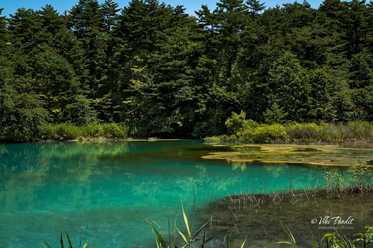
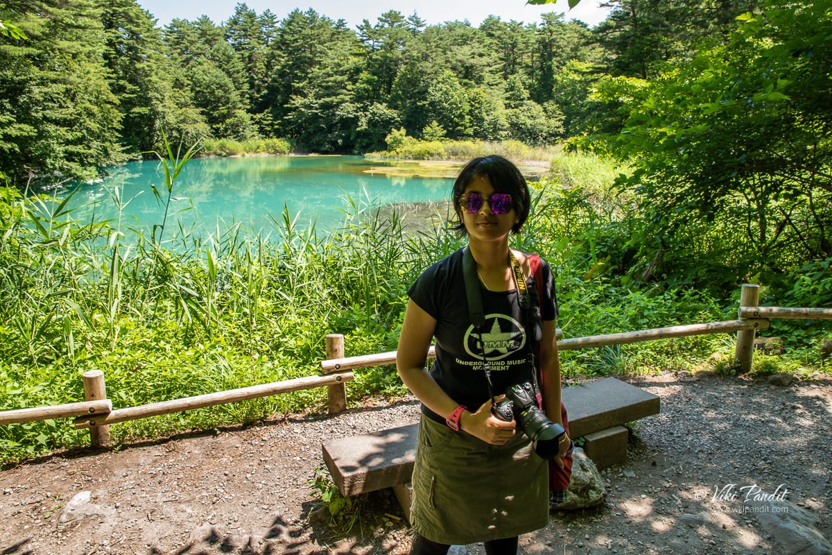
Today we go for a hike along the Goshiki-numa trail in Bandai-Asahi National Park, that runs along five gorgeous ponds. These ponds were created by the eruption of Mt. Bandai in 1888, after which the volcanic minerals dissolved in the water, imparting each pond with its own shade of color ranging from green to whitish blue.

We were staying in Aizu-Wakamatsu and spent the previous evening enjoying a most lovely evening at Tsuruga Castle grounds. We rose up early to catch the local train on the Ban-Etsusai Line and reached Inawashiro Station at around 9 am. It takes about half an hour to reach Inawashiro from Aizu-Wakamatsu and the ride is free for Japan Rail Pass holders.

Goshiki-numa

Goshiki-numa (五色沼), is a cluster of five volcanic lakes and ponds situated at the foot of Mount Bandai in the center of the lake district of Bandai-kōgen, in Fukushima.

The prefecture of Fukushima is blessed with one of the most lovely countryside and the Bandai-Asahi National Park is the most beautiful feather in its cap. Visitors to the park can marvel at Mt. Dewa-Sanzan, which is famous as a site for mountain worship, gaze upon the peaks of Asahi, Iide and Mt. Bandai, or enjoy the beautiful sights of hills and numerous lakes and marshes from vantage points in the Urabandai area and Lake Inawashiro.

But none is more interesting than the Goshiki-numa Nature trail that walks you along five gorgeous ponds/lakes formed by volcanic activities in the region. These ponds were formed when the summit of Mount Bandai on the northern side collapsed due to a steam explosion. The subsequent rock avalanche blocked the river Aga, which led to the formation of numerous water bodies in this area. Goshiki-numa is just one of many such groups of lakes & ponds formed during the eruption.

From the Inawashiro station we took the Bandai Toto bus to the Goshikinuma-iriguchi bus stop. The bus takes about 30 minutes and will drop you right in front of the Urabandai Tourist Information center, which lies at the start of the Goshiki-numa Trail. The bus ride costs ¥720 (one way) and is not covered by the Japan Rail Pass.

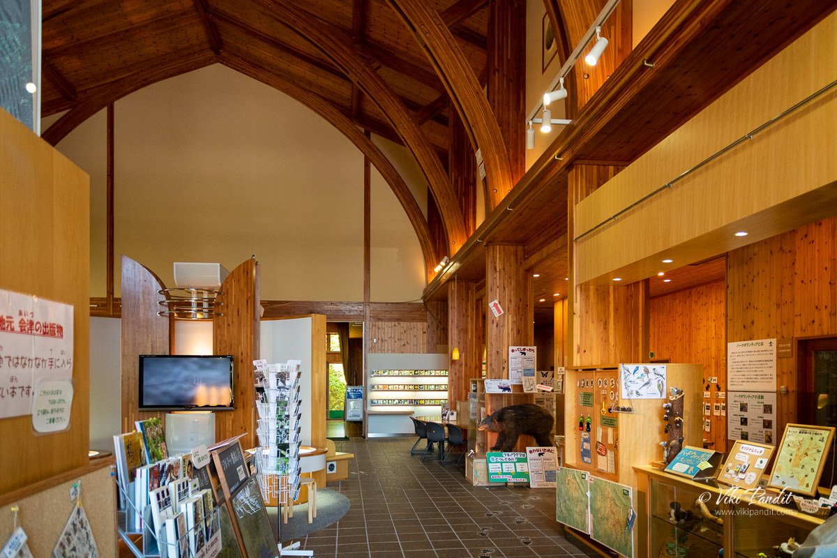
The Urabandai Tourist Information center is large and well-equipped, and provides information not only about touring the area, but on the geography, wildlife and history of the area itself in various exhibits, including video. Urabandai (裏磐梯) literally means “behind Bandai” and we were told that at certain viewpoints we could see the peak clearly along with the ponds.

Sitting deep into the forest, this center provides luggage counters, maps and pamphlets in English as well as any other information you may need for the Nature walk. Toilets are also available at the center.

We dropped off our heavy suitcase at the center and after collecting the map of the Goshiki-numa area, we started on the walk.

Bishamon-numa

The first pond on the trail is the Bishamon-numa Pond. It was summer and the beautiful Ajisai was blooming. If you love Ajisai flowers, do visit Hase-dera in Nara for a brilliant show of blooms during summer.

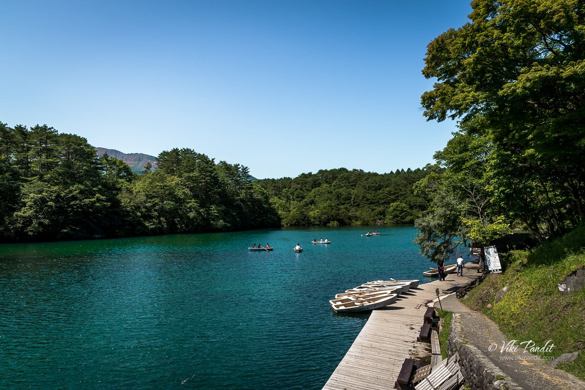
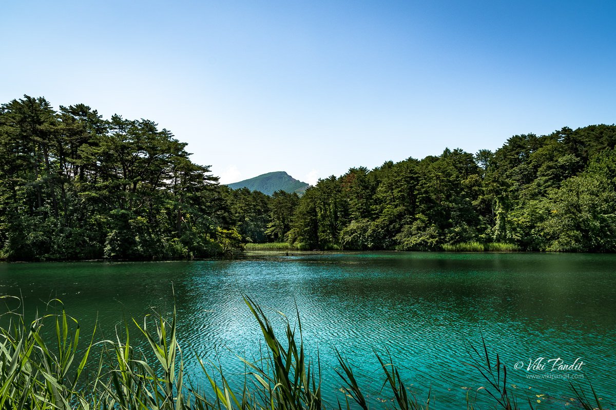
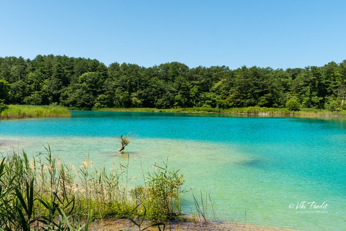
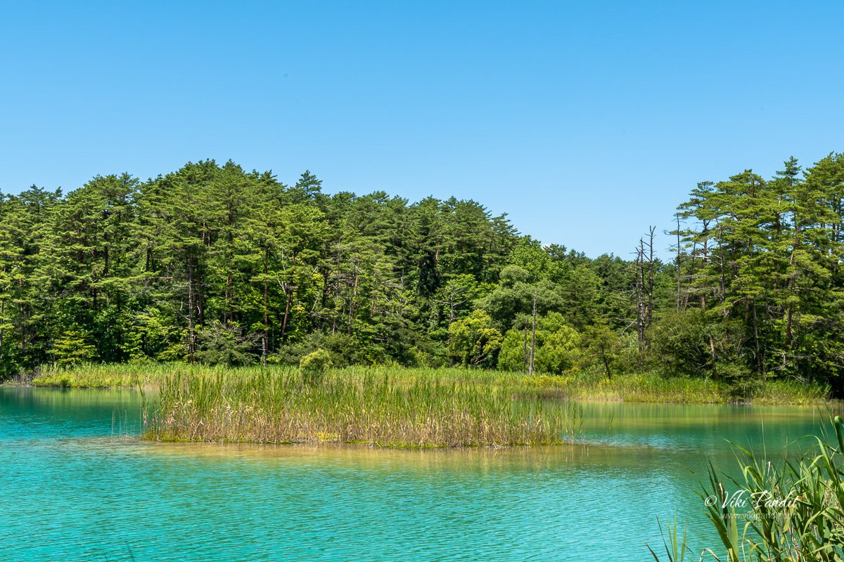
A little up ahead we found ourselves in front of a most beautiful teal colored pond, though in my opinion it looks more like a lake.

The colors of these lakes mysteriously fluctuate throughout the year with the weather.

On the Bishamon-numa, row boats are available for hire. People were enjoying the beautiful weather on boats along the pond.

After admiring the beautiful Bishamon-numa Pond, we moved forward along the trail shown on the map. The trail is clearly marked and it was quite easy to follow the directions.

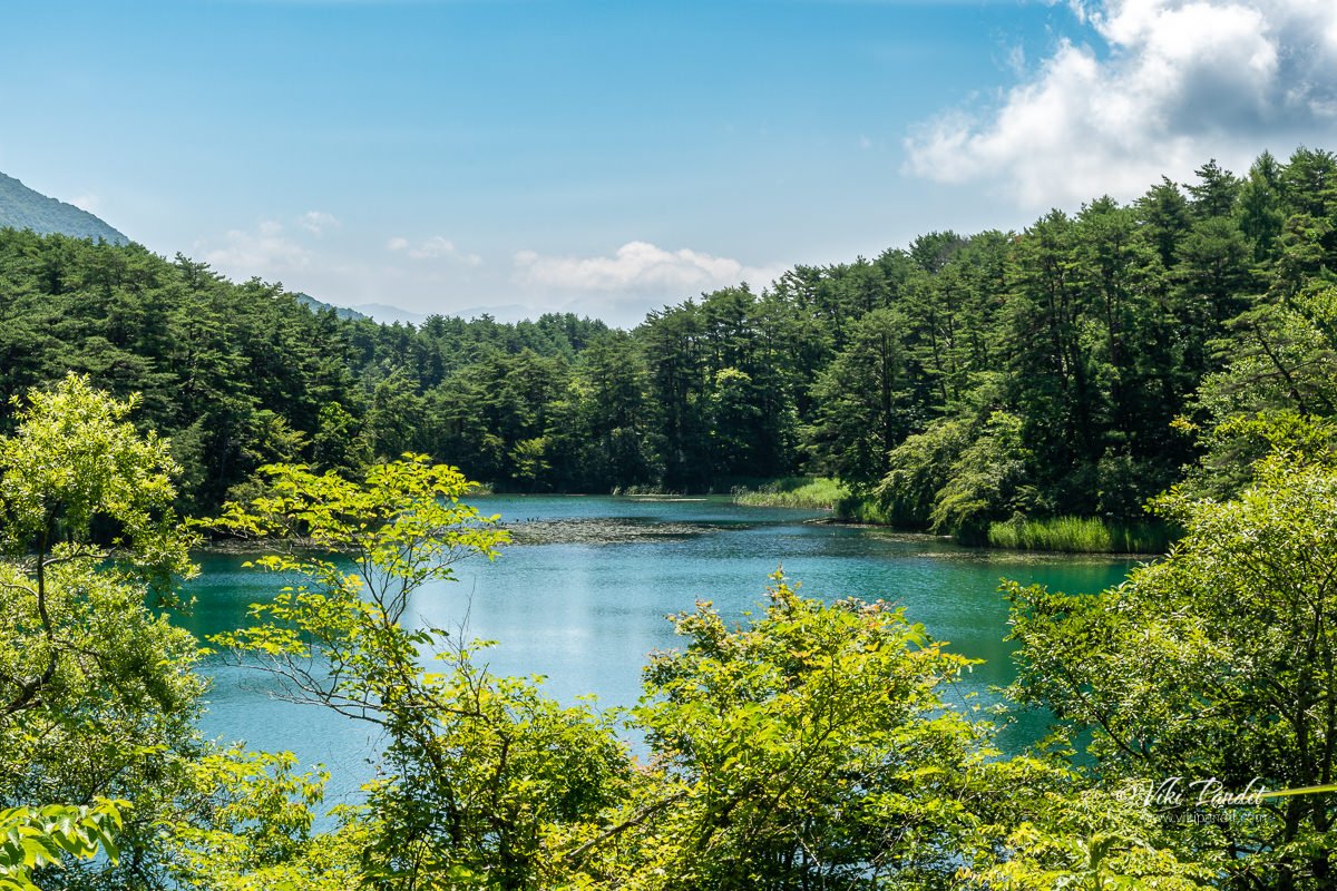
There are several vantage points around Goshiki-numa where visitors can enjoy breath-taking views of Bishamon-numa Pond. I personally loved this view point below that catches the lovely colors of the pond with Mt. Bandai in the background.

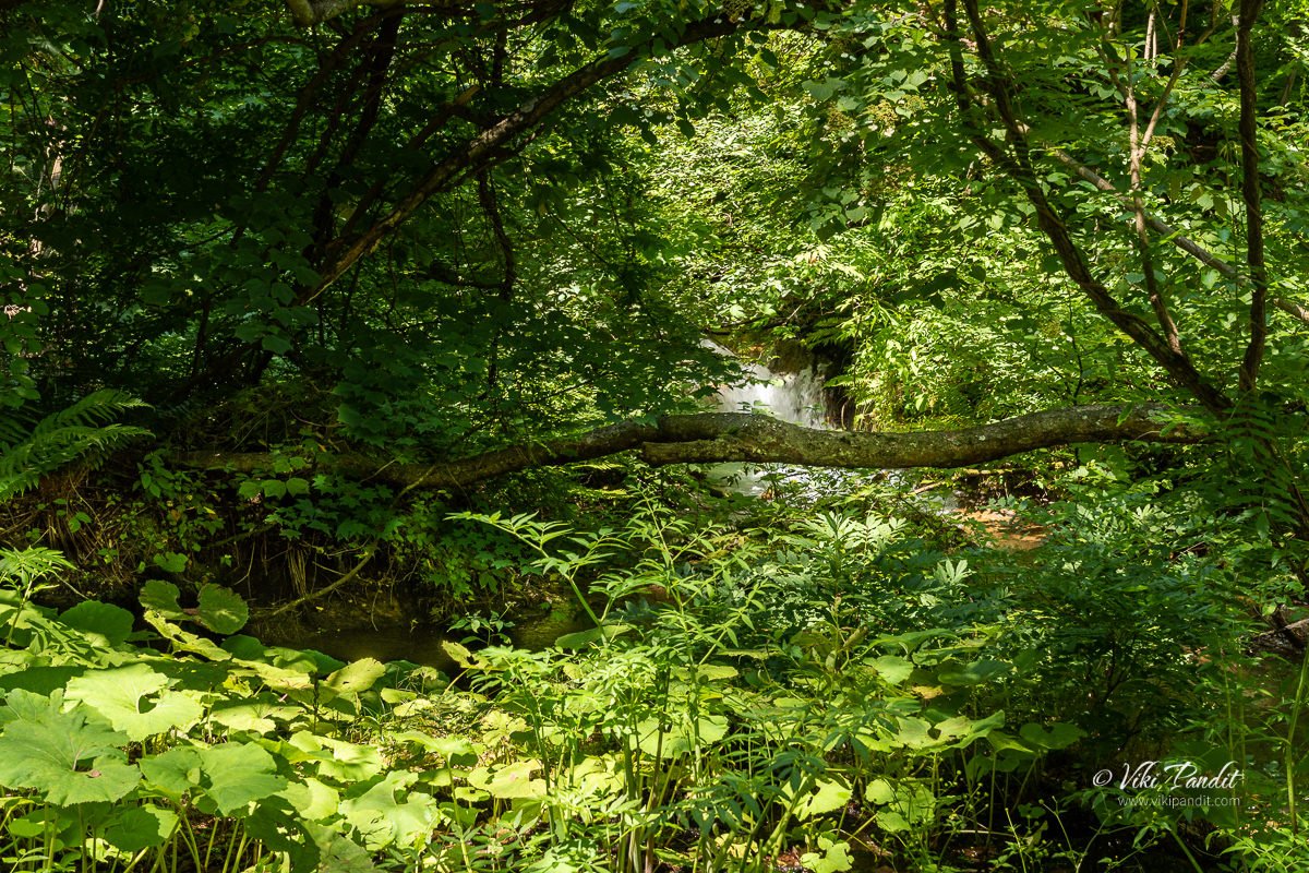
From here the trail moved into a wooded area surrounded by thick foliage. We were followed by other groups of Japanese along the trail. In fact all along the route we kept seeing more and more people, so it seems it is a pretty popular spot during summers.

At certain points the wood becomes so thick, its hard for the sunlight to get through.

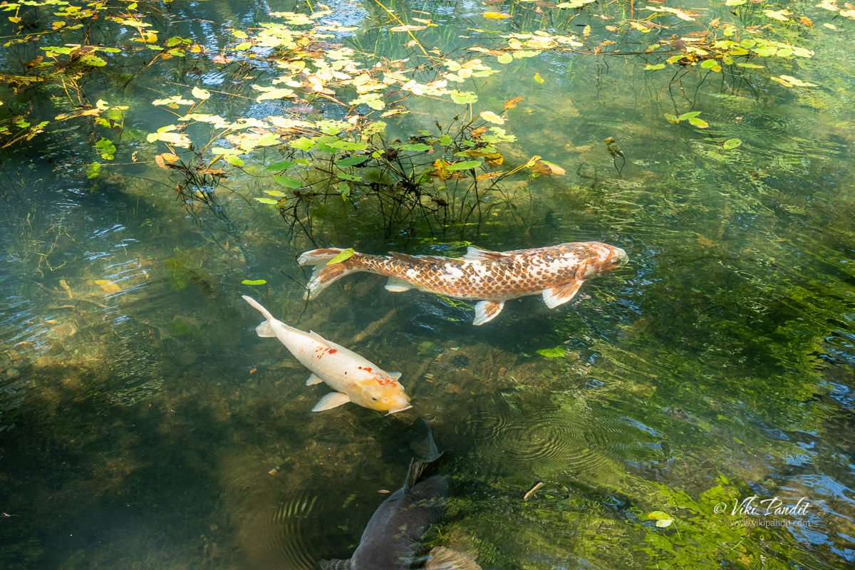
If you can get a little close to the pond, you can find colorful Koi swimming in the waters. Be sure to keep an eye out for the rare one with heart-shaped spots on its side which is believed to bring good luck!

After a while as we hiked up, the forest opened into a clearing. From here you can see a different angle of the Bishamon-numa Pond.

We gradually moved on along the stone path. It was also getting hotter as we were now into the afternoon.

Aka-numa

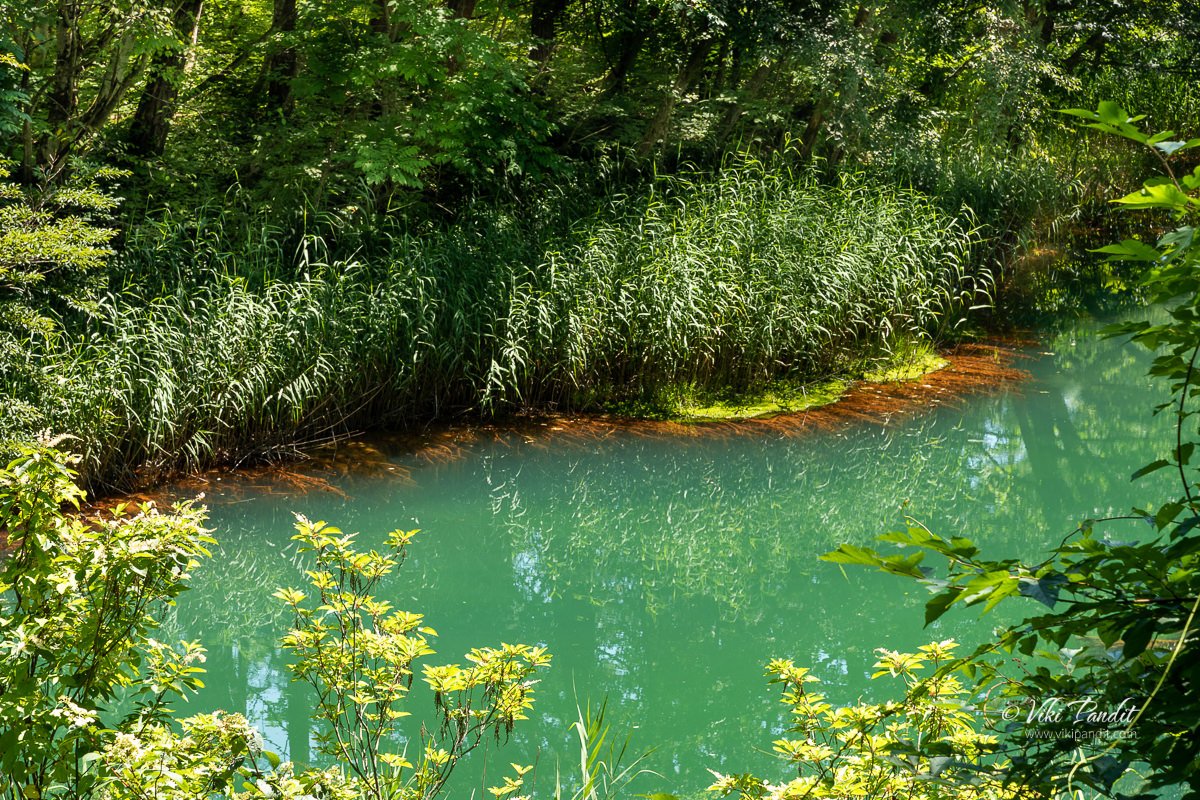
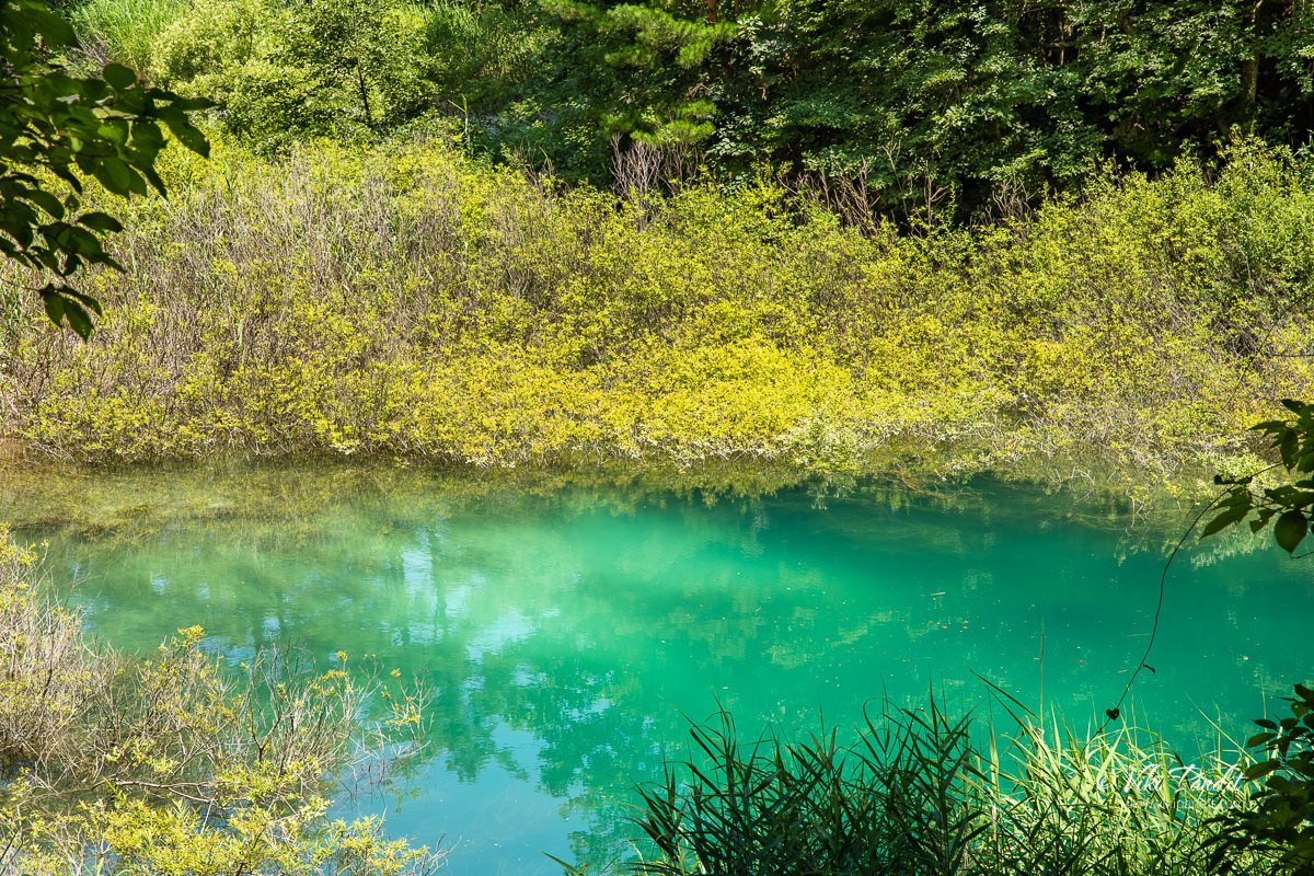
The next pond on our trail was the Aka-numa Pond (Red Pond) . Although the name highlights its reddish-ness, its color is much more of a muddy green. Due to the high iron content of water seeping into the roots of the reeds, it imparts a reddish tint to the edges of the pond.

Along the trail you can find different variety of flowers blooming near the pond.

In the below close up photo, you can see clearly the reddish reeds along the edge of the pond. After taking a few pictures of the Aka-numa Pond, we moved ahead.

We continued on our hike through the forest. Along the hike I noticed many carrying small bells, making a tinkering noise. I later came to know that those bells were to keep bears away. Yes! Bears!! I don’t feel so safe now :O

The area is supposedly famous for Asiatic black bears but we were luckily, we didn’t get to meet any of them today. Many hikers swear by bear bells as a good way to keep from accidentally running into them but I have read of several accidents involving bears in the Tohoku region where the bells were of little help.

About midway through the hike, we could hear the sounds of flowing water. After looking for sometime, we noticed this small stream of water flowing into a nearby pond.

Benten-numa

When we came out again in a clearing, a light aqua colored pond lay in front of us. It is called the Benten-numa (Benten is the Japanese goddess of the arts and wisdom. It is undoubtedly the second largest of the five ponds.

The trail goes in a semi-circular path around the pond with several viewpoints to capture the breadth-taking colors of the pond.

Benten-numa, too, is surrounded by quite thick foliage so is a little difficult to get a good look out over, but, like Bishamon, features a backdrop of Urabandai mountains.

We were soon back into the woods.

Ruri-numa Pond

We were soon at the Ruri-numa Pond (Lake Lapis Lazuli) . The Ruri-numa is named so for the deep, rich blue of its waters, which are probably the clearest of any of the Goshikinuma ponds.

It was here that I dropped my Nikon 810 for the first time. Yes, while entering this area, I slipped over the dusty rubble and lost my footing. It was a good thing that my Black Rapid camera strap kept the camera close to my body. Nothing happened to the camera except for some scratches on the bottom.

Fortunately the fall didn’t do much damage to this tank of a camera and I was able to keep clicking more pictures of this gorgeous lapis lazuli colored pond.

This was not as big as the other ponds

Yanagi-numa

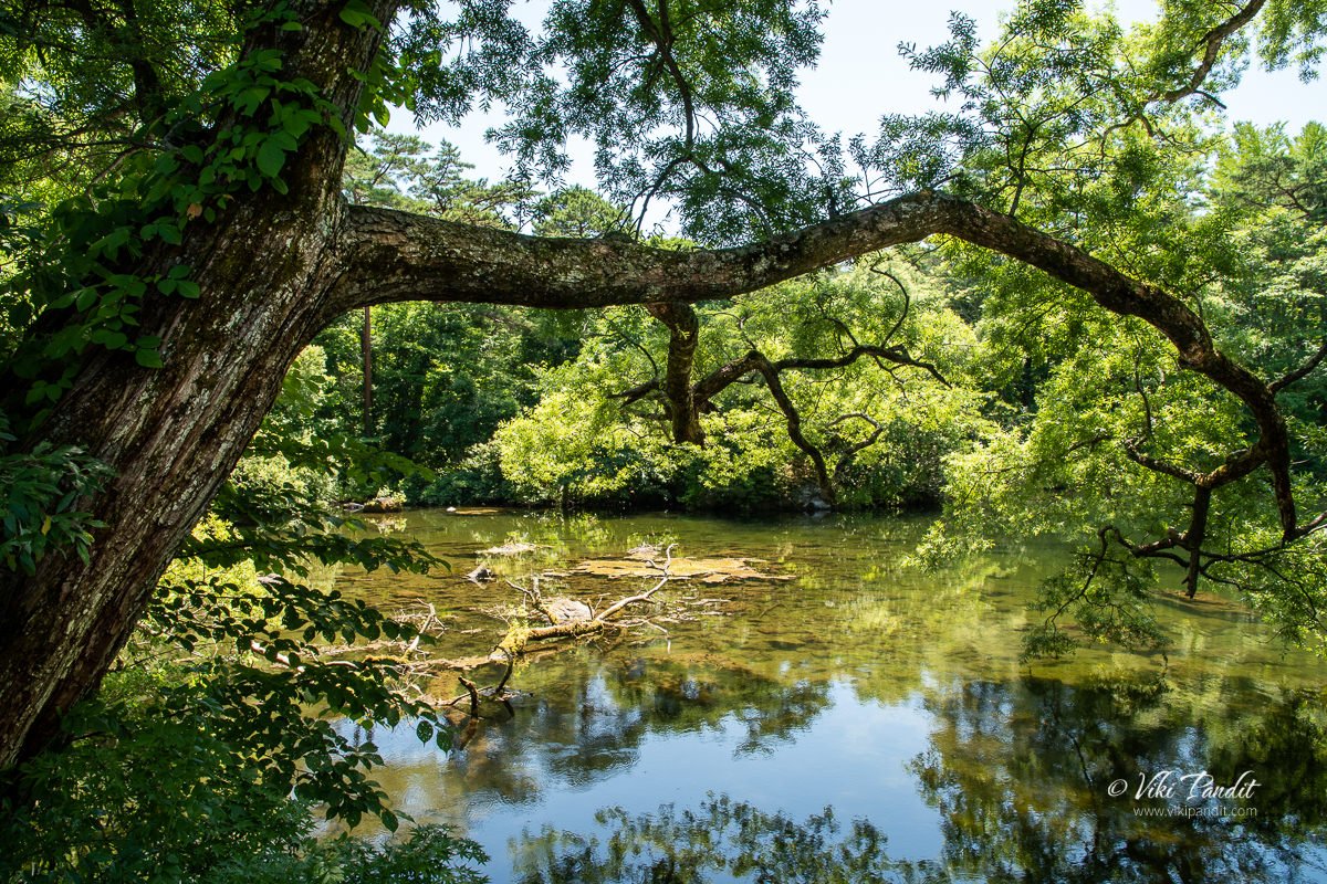
From here the Yanagi-numa is not very far off. Yanagi-numa (“Willow Pond”) lacks the sludge-filled bottom of the other ponds, therefore it lacks the “magic” hues and tints. However, the water is very clear and faithfully reflects its surroundings, making for another special kind of beauty.

The water in this pond was of a natural color.

So there you have it – a pictorial tour of the Goshikinuma Nature Trail. From this last pond on the trail you can choose to go ahead where you can find a bus stop to take you back. We however had to go back as we had left our luggage at the Tourist office. so we went back quickly along the same trail.

Most tourists had left boating by the time we arrived back at the starting point of the trail – Bishamon-numa Pond

The bus arrived on time and we were back to the Inawashiro Station.

We were on our way to Tendo, we we would stay for a night before advancing to the next stop on our Tohoku tour – Sendai. We had a lovely day at Goshikinuma Nature Trail. The name, Goshikinuma, as written in Japanese (五色沼 or five color ponds), is rather a misnomer. The area consists of many more than five ponds, and is also famous for displaying a much larger spectrum of spectacular colors.

The ponds have earned the name “Mystic Marsh” due to this characteristic. The sightseeing trail around the ponds is 3.6 km long and takes approximately 70 minutes to walk. Urabandai is also popular for autumn color viewing. Due to the wide range of elevations, colors can usually be seen somewhere during the entire month of October.

Thanks for reading! I look forward to your comments and questions. If you are looking to explore more of the Tohoku region, follow my story as I make a stop-over at Sendai and then go for a cruise over the beautiful Matsushima Bay.

The sparkling Lake Mashū

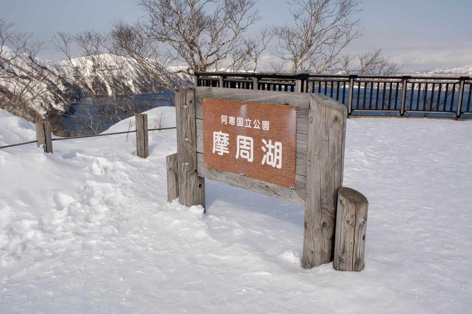
After the extra-terrestrial experience at Mount Iwo, we were on our way to Lake Mashū (摩周湖). It was pretty obvious that our guide, Shitona, was in love with the lake and she kept telling us over and over, how beautiful the lake looked on a bright sunny day. Although it is usually adored for its clear blue water, the lake is frequently blanketed in heavy fog and it is a rarity to view it at its scenic best.

Lake Mashū or Mashūko, is the smallest of the three caldera lakes in Akan National Park. The comma-shaped lake with a circumference of 20 km originated from volcano activity of Mt. Mashū some 32,000 years ago. The lake is surrounded by steep crater walls, 200 meters high with no inlets or outlets Along with Lake Baikal in Siberia, it is classified as one of the most transparent lakes of the world.

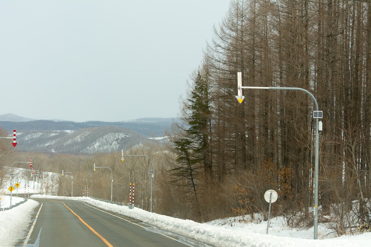
We were again surrounded by Spruce forests.

After many twists and turns we finally arrived at the lake. The bus dropped us off near the parking lot. The path was slippery with frozen ice all over the place. Near the parking lot, one can also find toilets and a large shop selling snacks and souvenirs.

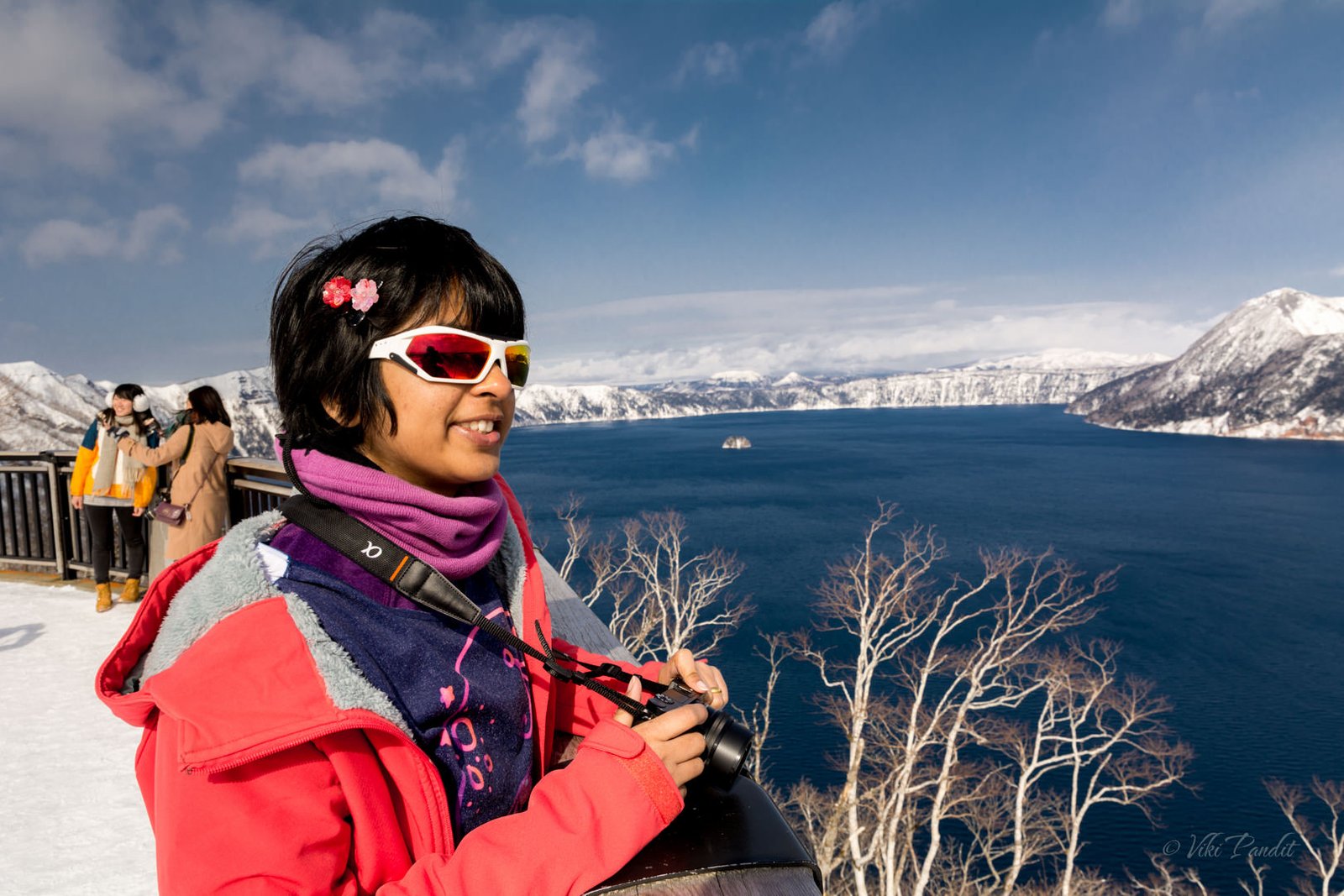
We walked up to the big observation deck. Luckily for us it was a sunny day and the bright blue water of the lake looked stunning. I hadn’t taken the words of our guide seriously until that moment as I stood in awe at the sparkling blue lake.

The aboriginal Ainu used to call this lake, Kamuito which means “Lake of the Gods.” Over time, the Japanese began to refer to the lake by the neighboring peak, Mount Mashū. The Ainu name for this peak is Kamuinupuri or “Mountain of the Gods.” Surrounded by Mt. Mashū-dake, the deep blue mirror-like waters of Lake Mashū makes one wonder how this garden of Eden came down to Earth.

From the observation deck one can see Mt. Mashū towering on the eastern shore. Two volcanoes have grown out of the Mashū caldera. Kamuishu (divine island), a lava dome which rises from the middle of the lake, is one. The other is Mount Kamui, which forms the highest point on the eastern shore. In the caldera of Mt. Mashū, the steep crater walls around the lake make it a unique landscape. The volcanic activity keeps the lake from getting frozen unlike Lake Akan and Lake Kussharo.

On our left, we noticed a trail going over the ridge to an open area with some lovely bunch of trees. We decided to walk up to the beautiful peak. On our right it was a steep 200 m slope right to the edge of the lake. The knee-deep snow made it real tough to walk. Still it was safer than slippery ice.

At the peak it a lovely feeling with no one around us in that garden of Eden. I stood there, striving to mentally capture my favorite image of Lake Mashū and retain it in my memories. Time flies in these moments. After basking in the view for what seemed like only minutes, we walked back to the parking lot. I still had a few minutes on my time for the bus to leave, so I hurried down to the lower observation deck, behind the shops and took some unobstructed views of the lake. As of today, in my opinion, Lake Mashū is one of the two most beautiful lakes in Japan, the other being Lake Biwa.

Generally there tends to be a lot of fog at the lake. Most of my instagram friends warned me about it. However, from the end of January the lake is comparatively clear. On some days the temperature reaches -5℃ in the afternoon, so one must go properly equipped against the cold. After taking some wide shots of the lake, we walked back towards the bus. Once everyone was back on the bus, we left for Lake Akan.

The Swans of Lake Kussharo

We woke up to a beautiful morning. It was our third day on the enchanting island of Hokkaido and I was looking forward to our tour of Akan National Park. We were lodged on the 9th floor of the Prince Kushiro Hotel and I could see the wide sea from our window. The roads were deserted and snow had created a carpet of white over the town. The thought of walking to the docks and capturing the sunrise did cross my mind but I controlled the temptation and prepared for the day’s trip.
At 8 am, Mani and I, went down to the reception and picked up our tickets for the White Pirika sightseeing bus. The White Pirika sightseeing tour offers an all-day round trip of the most popular nature spots in Akan National Park including Tancho Crane Reserve, Swan viewing at Lake Kussharo, Sulfur spewing Iōzan, Lake Mashū and Lake Akan. The tickets cost ¥4600 per person. The bus leaves from Kushiro station at 8:30 am. It makes a stop at Prince Kushiro Hotel so we just waited outside the Hotel for the bus to pick us up.

Hokkaido is one of the top winter birding and wildlife photography locations. The Akan National Park is home to a number of eye-catching iconic species: the resident Red-crowned Crane and Blakiston’s Fish Owl. In the winter you can also find the Whooper Swan and Steller’s Eagle. I was hoping to at least catch some of these today.

The bus was a few minutes late. As it stopped, a charming lady in a blazing red suit, got down to greet us. Her name was Shitona, she was our tour guide. She was not acquainted with English and spoke only in Japanese. It was quite helpful that Mani is fluent in Japanese and she translated most of what was said during the tour.

We took our seats towards the front of the bus. The bus was almost full and I was glad I had made our reservations from before.

Note: The White Pirika bus does not operate beyond March 6th.

The lady guide handed us a pamphlet and informed everyone about the route we would be taking along the tour. After a few turns, we left the city behind and entered the Kushiro Marshlands. Kushiro Marshland is a breeding ground for many animals including Japanese cranes. It is also a wildlife sanctuary registered under the Ramsar Convention. We didn’t stop at the observation point since there was nothing to see in the snow. In summers one can try walking on a boardwalk or even go canoeing in the marsh.

The Tancho Crane Reserve in Kushiro: Tsurui-mura

About 30 minutes into the drive, we reached the Tancho Crane Reserve. It is a popular spot for viewing Japanese cranes.

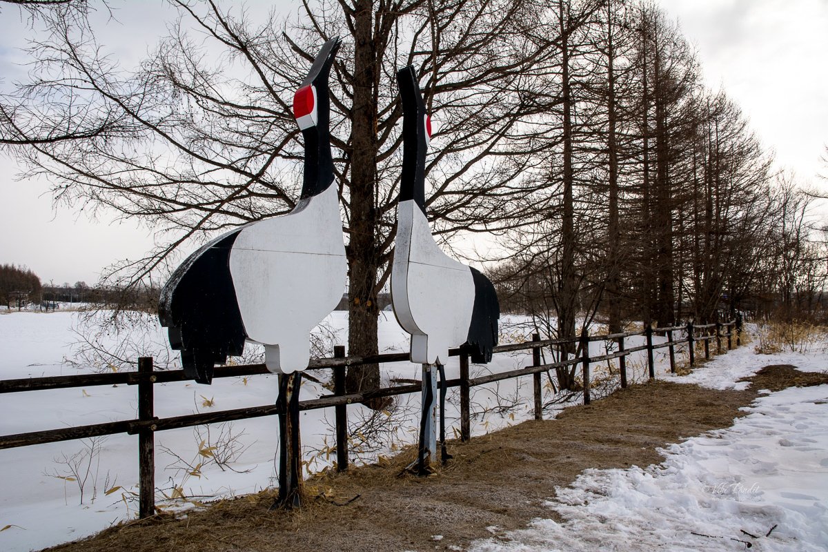
The Tancho have been believed to be a bird of good omen. It is very much respected by the local Ainu as Sarurunkamui (god of the marshland) since ancient times. In 1935, Tancho’s habitat was listed as one of Japan’s natural monument. Later in 1952 it was upgraded to “special natural monument.”

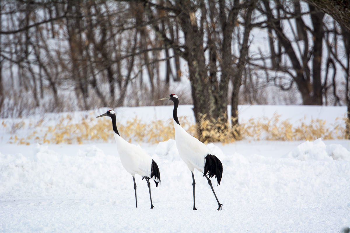
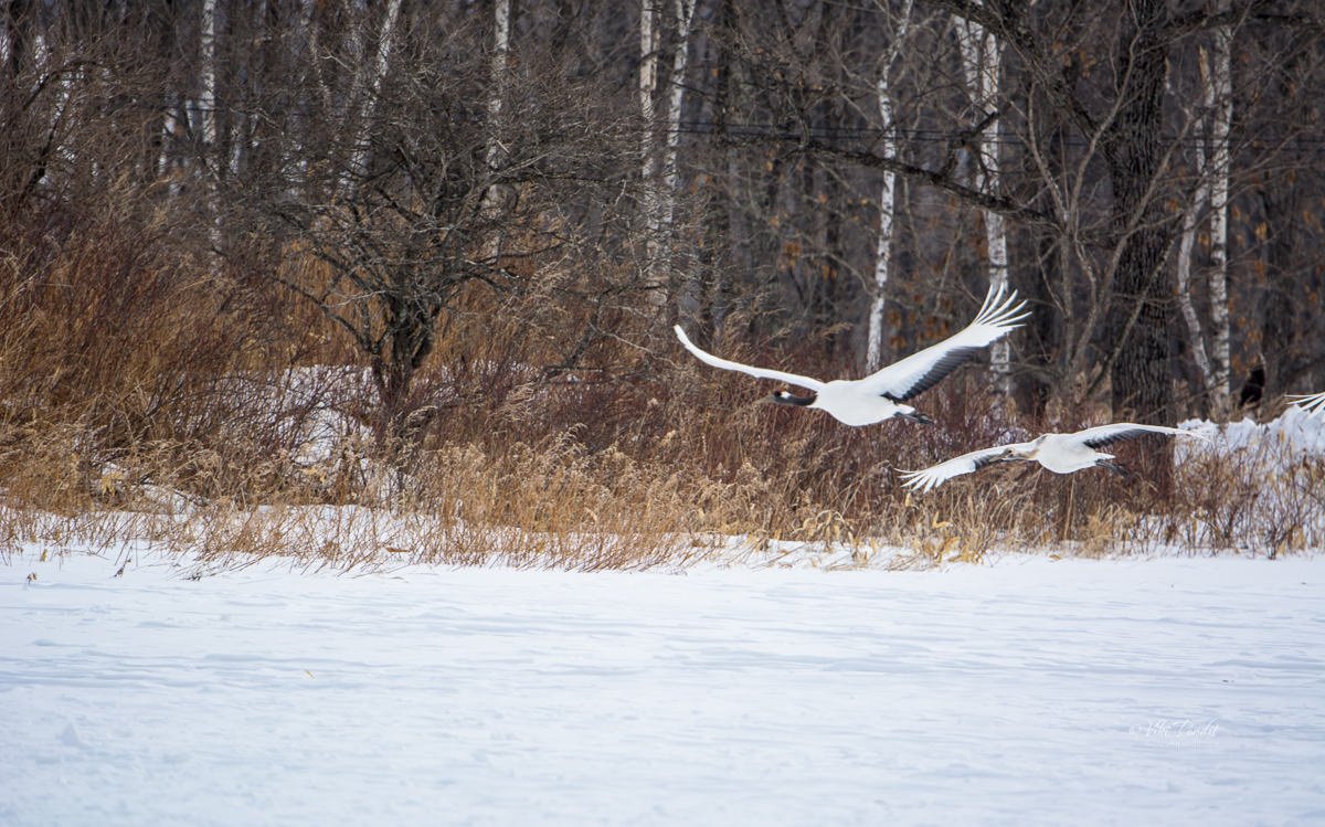
Within a few minutes, a couple of cranes flew into the park from nowhere. The couple played around in the snow. In-between one of them would give out a loud shrieking call. Hearing the call, another bunch of cranes came by, for our view pleasure.

Red-crowned cranes are said to form partnerships for life. They may be forced to part in the rarest of cases when one crane becomes badly injured or ill to breed. This bond between red-crowned crane partnerships is so strong that the red-crowned crane is used as a symbol of happy relationships in Japan. They are also considered a symbol of long life, as they can easily survive for 20 years in the wild or 40 years in sanctuaries like Tancho.

The Tancho are non-migratory in nature and use the Kushiro marshland as their nesting ground. In recent years, the red-crowned crane population has grown rapidly due to careful protection measures, but this has also resulted in an increase in the damage to local farmers’ crops. The wetlands that were initially breeding grounds have become too small, resulting in cranes breeding near residential areas. These cranes then help themselves to farmers’ crops or get into their barns and eat the cows’ feed, because it’s much easier than searching for the food they are meant to eat.

Despite these problems, the locals love them. In winters when food is scarce, the locals bring in corn for the birds. Due to the warm affection of these loving people, the Tancho numbers have increased year after year. Currently there are confirmed 600+ birds living in the area.

After capturing some of these beautiful birds, we were back at the bus stand, getting ready for our next destination. There is a cafe near the entrance to the reserve so If you are feeling the need for it you can enjoy a warm drink.

Lake Kussharo

After spending some time watching the cranes playing in the snow, we left for Lake Kussharo. Lake Kussharo is the largest of the three caldera lakes that make up Akan National Park. As with most geographic names in Hokkaido, the lake derives its name from the Ainu.

The Ainu word “Kuccharo,” means “The place where a lake becomes a river.”

Lake Kussharo is thought to have been formed over 100,000 years ago as a result of volcanic eruptions. Volcanic activity is still active in these parts and if you dig the sand near the banks, you can find hot water.

Myth surrounding Lake Kussharo

The lake is also known as Japan’s Loch Ness, after some reported sightings of a lake monster in early 20th century. The monster is referred to as Kusshii, most likely borrowed from that of Loch Ness’s Nessie.

Lake Kussharo is about an hours drive from the Tancho Crane Reserve . It appeared mostly frozen as we got off from the bus. We couldn’t find any shops or eateries nearby, so if you are going using your own vehicle make sure you pack the essentials.

As we neared the lake. I was amazed by its breathtaking beauty. The banks of this vast lake are lined with Sakhalin spruce, found only in Japan & Russia. Across the white lake in the far distance, I could make out the sprawling Mt. Mokoto.

Whooper swans of Lake Kussharo

Geographically Hokkaido is very close to Eastern Russia but, unlike that area, Hokkaido is readily accessible year-round, safe and with excellent infrastructure. Situated on the East Asian Flyway, a migratory route connecting northeast Asia with Southeast Asia and Australasia, Hokkaido offers various avian residents an enchanting break during their long journey.

As temperatures dip towards freezing in late autumn and early winter, migrant swans like the Bewick’s Swans and Whooper Swan, arrive in angelic flocks trumpeting their stirring calls as they fly. While the Bewick’s Swans will pass through bound for Honshu, many of the Whooper Swans will linger, gracing the ice-free areas of the larger lakes and marshes through the winter months.

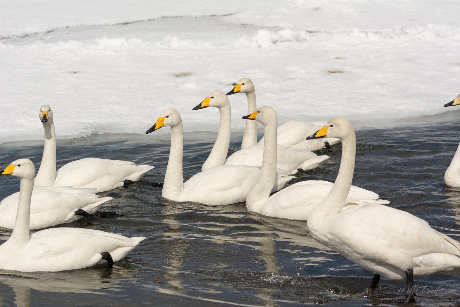
The whooper swan pronounced as hooper swan is found predominantly in the colder areas of the Northern Hemisphere. They have a deep honking call and, despite their size, are powerful fliers. The swans can migrate hundreds or even thousands of miles to their wintering sites like this one at Lake Kussharo.

The surface of the lake was frozen, but along the sandy beach, where the hot springs prevent any ice from forming, the swans were enjoying a nice swim in the water.

Far away from the city noise, this place is truly relaxing. Ignoring the few of us, the swans swam around enjoying nature at their own pace.

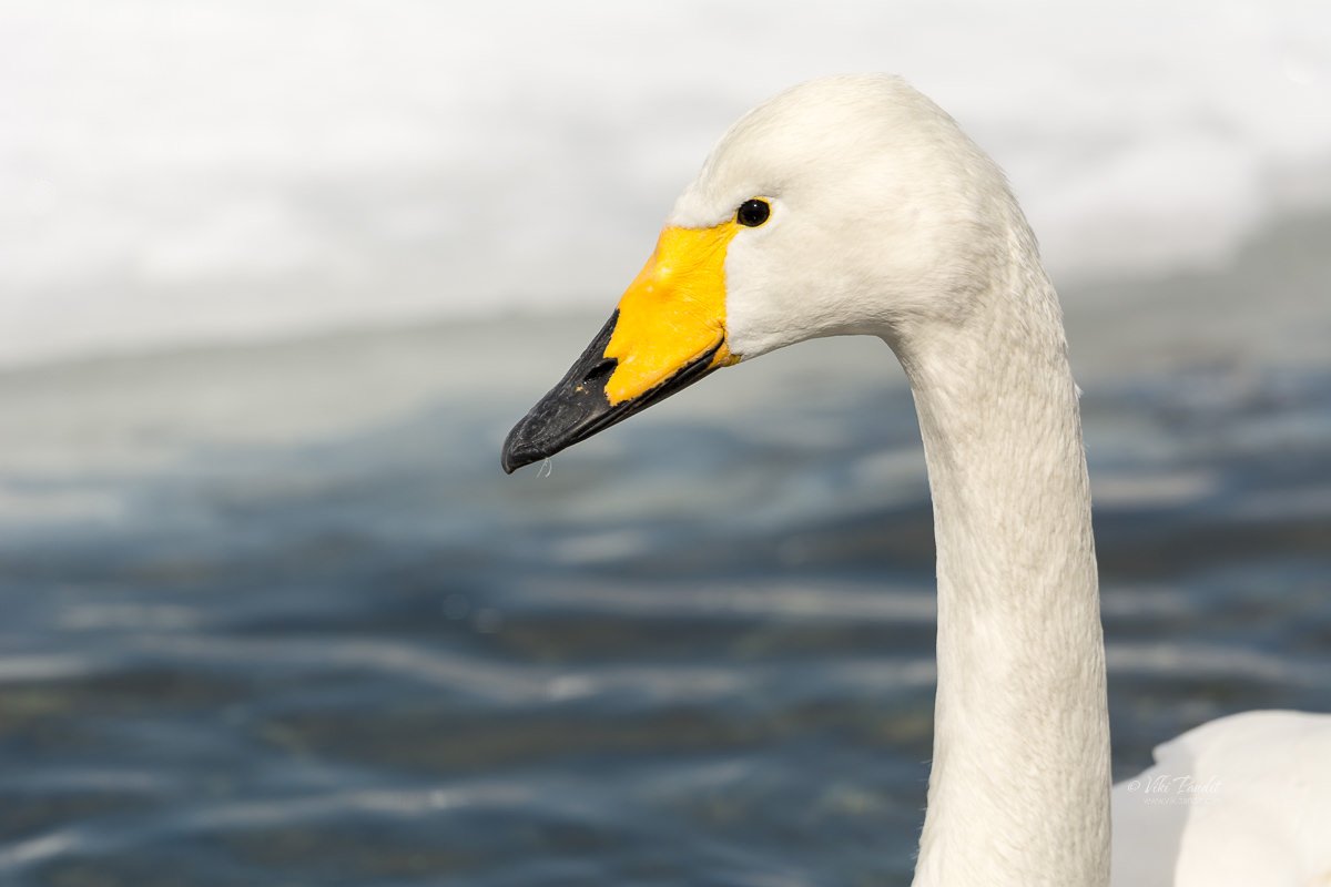
The Whooper Swan has a pure white plumage. The webbed feet and legs are black. Half of the beak is orangey-yellow (at the base), while the tip is black. These markings on the bill differ and individuals can be recognized by their bill pattern. The male is called a “cob,” the female “pen,” and their chicks are known as “cygnets”.

Swans feed primarily on aquatic plants; but they also eat grain, grasses, and crop foods, such as wheat, potatoes, and carrots – especially in the winter when other food sources aren’t readily available.

Their long necks give them an advantage over the short-necked ducks, as they can feed in deeper waters than geese or ducks by uprooting plants and snapping off the leaves and stems of plants growing underwater.

In addition to whooper swans, I also noticed some Mallard ducks. This one below is a male with a distinctive green head, yellow bill, chestnut breast, and gray body. Females are mottled brown with orange and black splotches on the bill.

Lake Kussharo is a lovely place to put up your feet and relax. In contrast to the historical and cultural aspects of mainland Japan to the south, Japan’s northern island of Hokkaido offers Japan’s wilder, more outdoor, side. It is ideal year-round for nature travel, and especially for birders, birdwatchers, and bird photographers. I have heard in summers this place is also great for hiking and camping.
Hokkaido’s night birds are dramatic too, and none more so than the world’s largest owl and one of the world’s rarest species – Blakiston’s Fish Owl. I hope to come down again to capture some more.

We wanted to stay back a little longer but this is the problem with set tours, they allow very little time to enjoy a place truly. So, off we went back to the bus. Our next stop: the sulfur spewing Mt Io.

The Igloo Village of Shikaribetsu

Our first day on the beautiful island of Hokkaido. I was excited and looking forward to spending my next week surrounded by snow. Coming from a land where temperatures frequently touch 50° Centigrade, it is like a fantasy coming to Hokkaido in winter.

It was going to be a long day. We were headed for the city of Kushiro, almost 300 km away. On the way, we had planned to take a break at Obihiro, and visit the phantom ice village on Lake Shikaribetsu.

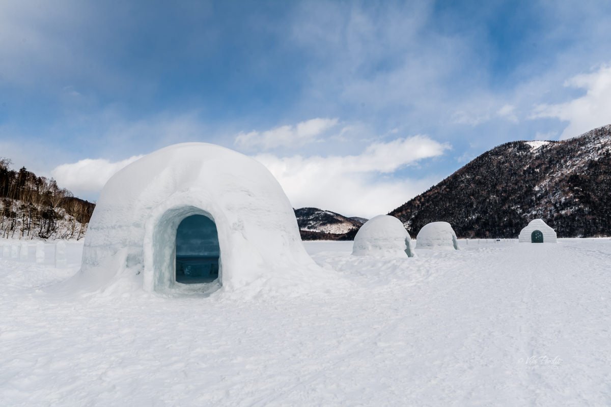
Phantom?? Because nobody actually lives in that village. Shikaribetsuko Kotan (然別湖コタン) is a winter event held from late January to mid-March at Lake Shikaribetsu, located in the northwestern part of Obihiro. The lake freezes in winter and the people from the nearby village build igloos on the lake using ice creating an experience of an Eskimo village. The kotan (village) exists only during the winter months and melts away with the onset of spring.
Kotan means village or settlement in the Ainu language. The Ainu are the indigenous people who live in the northern regions of Japan, especially Hokkaido.

Sapporo to Lake Shikaribetsu

We had already purchased our special JR Hokkaido passes the day before, which were valid for unlimited travel in Hokkaido for the next 7 consecutive days.

The 7 day JR Hokkaido Pass costs ¥26000 and can be bought at the JR ticket counter at Chitose Airport

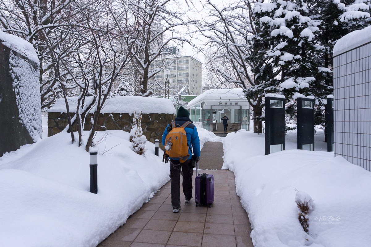
We left the warm comforts of our hotel at 7 am and walked down to the Nakajimakoen park. In daylight, the park looked lovely, covered in snow. The snow had tapered down from the previous night and it was relatively easier to walk. Curiously, even though I was surrounded by snow almost 3 ft high, it didn’t feel very cold. Maybe I was just very well protected.

From the park, an underground passage directly connects with the Nakajimakoen Station. From there it is just a couple of stops to Sapporo Station.

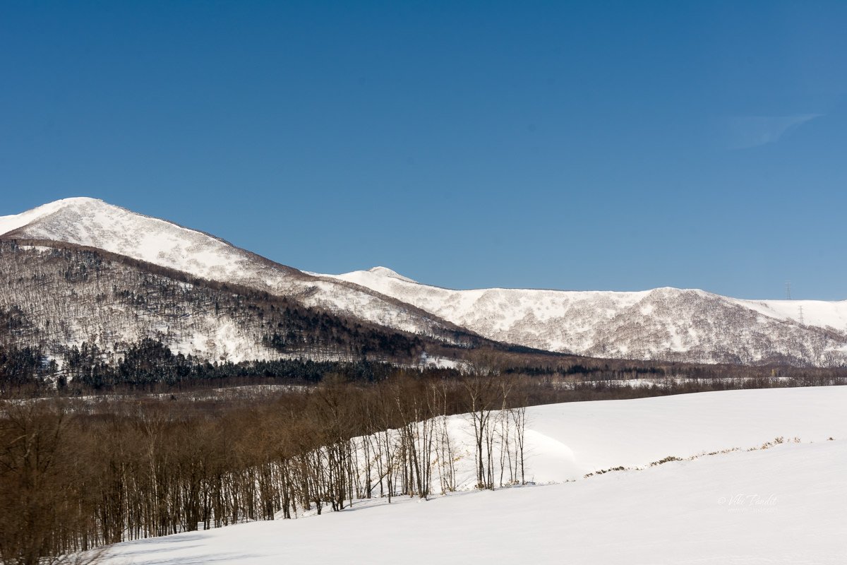
At Sapporo, we had a light breakfast. The Station is huge with dedicated rows of shops for clothes, food, and other stuff. We caught the 8.45 am Super Ozora train to Obihiro. For the next 2 hours, I was treated to some breathtaking scenery as the train chugged along the pure white landscape. I have never seen so much snow in my life. It was like the color green had been banished from the lands.

How to get to lake Shikaribetsu – Fusui Bus

We reached Obihiro at 10.40 am. At the station, we went directly to the tourist information center to obtain local bus schedules for Lake Shikaribetsu. The easiest and cheapest way to reach Lake Shikaribetsu is using the Fusui bus. The lady at the help desk informed us, one was leaving within 15 minutes at 11 o’clock. We literally ran to the bus stand since the bus intervals were far apart and it takes almost an hour and a half to reach the lake.

The bus was about half full and mostly filled with locals. It was a pleasant surprise for us when the driver told us that the ride to Lake Shikaribetsu was absolutely free for tourists going all the way to the Lake. However please note there are only 4 runs a day for the free bus.

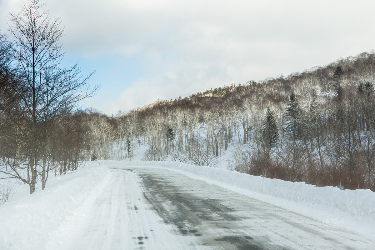
As we drove across the city, it was clear that it had been snowing heavily for some time. The sidewalks were covered in huge mounds of snow. The roads had been swept of ice but they were still wet and cold steam was rising from the surface. The bus stopped at a few local stops before we left behind the little town of Shikaoi at the foot of the mountain and entered the forested area of Daisetsu National Park.

Daisetsuzan (大雪山) is Hokkaido’s largest national park. The vast mountainous area of unspoiled wilderness is larger than even some of Japan’s smaller prefectures.

Lake Shikaribetsu

The history of the phantom village of Lake Shikaribetsu goes back to 1980 when local residents began building igloos on top of the frozen lake for fun near the Shikaribetsu Kohan Onsen resort. They continued this yearly activity and as the news spread, people from all over Japan began coming to see the ice village during winter.

We reached the lake area at about 1.00 pm. Though the distance from Obihiro is a bit above 60 km, the driver took his time as the bus goes through many elevated sharp curves and snow-covered roads.

Even in this tough terrain, it feels great to see the buses and trains are so particular with time.

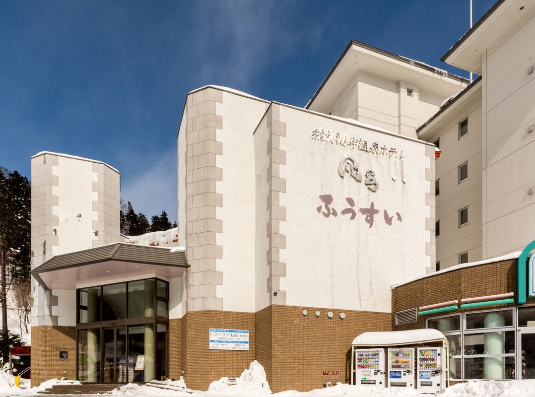
The bus dropped us off in front of Hotel Fusui. If you are planning to go back to Obihiro on the same bus, do not forget to collect the free return ride ticket at the reception of the hotel.

Hotel Fusui is located right on the edge of Lake Shikaribetsu. We obtained our return tickets and left our luggage in the care of the reception staff.

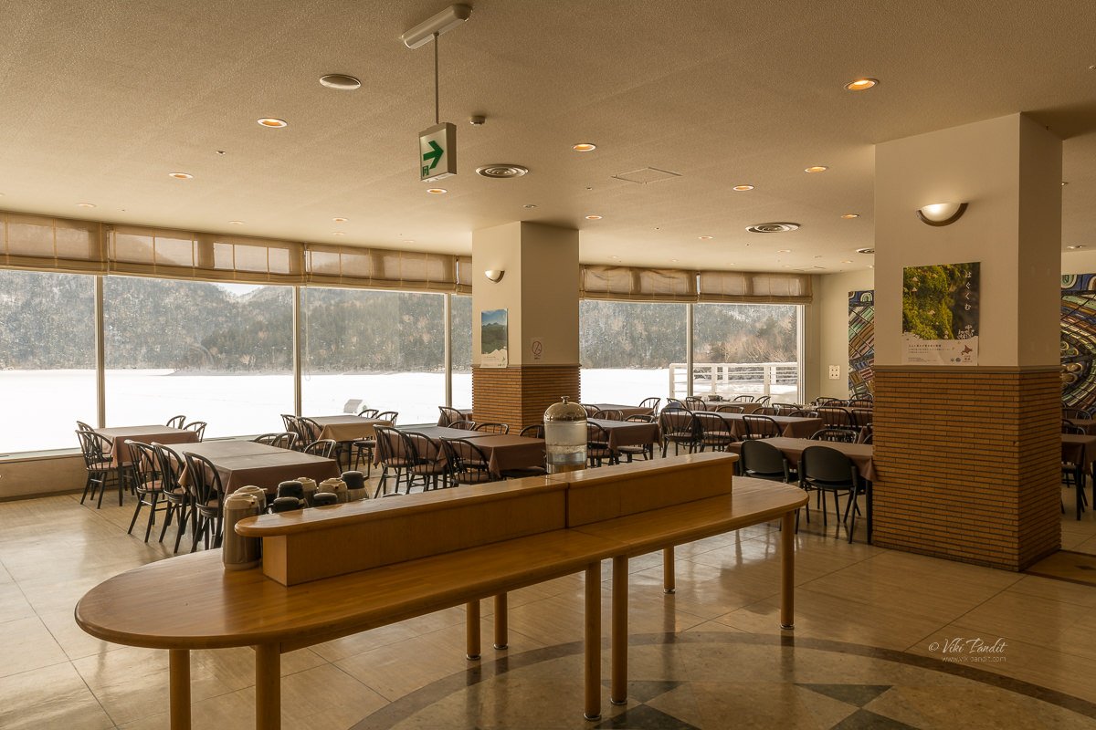
We were famished after the long ride, so we went into the restaurant on the ground floor. The restaurant seating is cleverly arranged so the guests can enjoy their meal, simultaneously basking in the breathtaking view of the lake. Recommended by the waiter, we ordered a local delicacy, cooked with the Dolly Varden trout, that is found in the Lake Shikaribetsu itself.

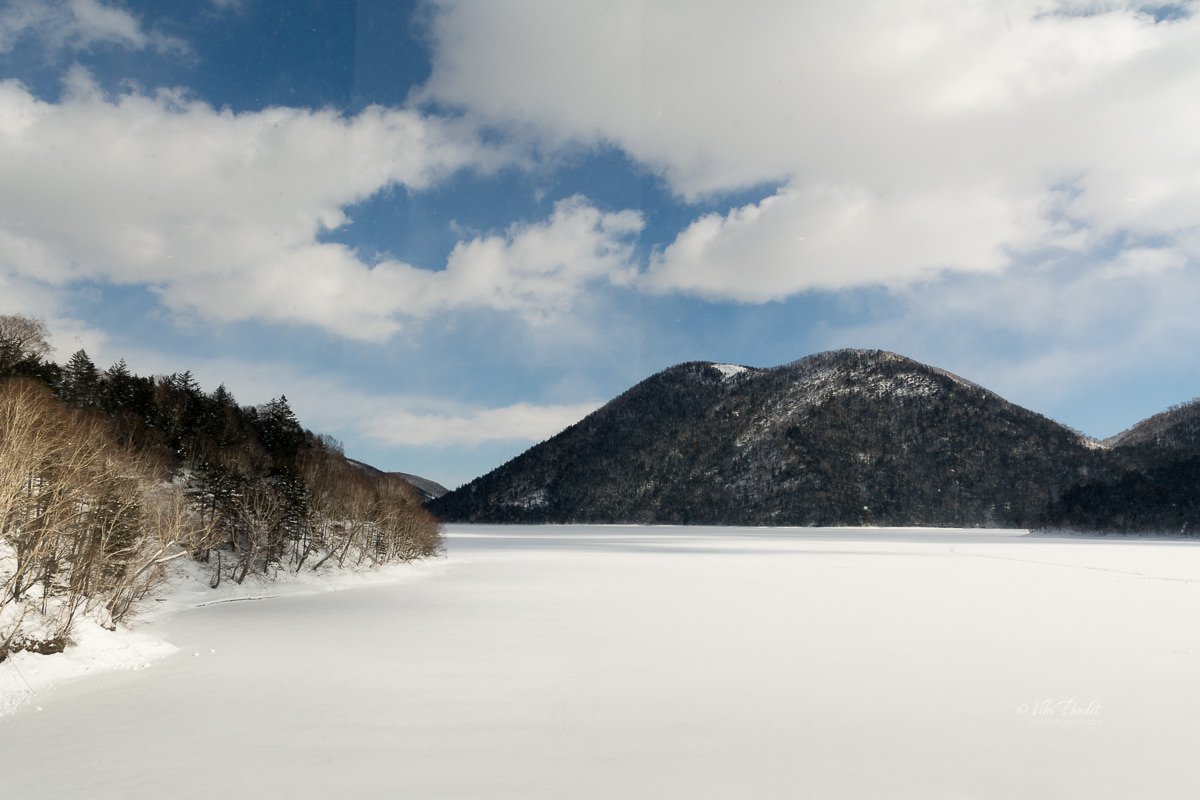
It was quite soothing sitting by the window in the soft sun, overlooking the huge, frozen lake. From time to time, clouds would pass by casting a moving shadow over the frozen lake.

Beside the restaurant, there is a souvenir shop selling locally made wooden artifacts and souvenirs. I made a mental note to come back for some souvenir shopping before boarding the bus back to Obihiro.

After lunch, we walked over to the lake. The place was very serene and peaceful. Far away, on the surrounding mountains, the spruce forests were draped in snow. The elevated landscape in a way cuts of the surrounding area making us feel as we were now on top of the world cut off from everything. Incidentally in the Ainu language, the name of the lake also means “Lake of the Sky.” I would completely agree.
At At 810 meters, Shikaribetsu has the distinction of being the highest altitude lake in Hokkaido

Lake Shikaribetsu Igloo Village

The construction of the ice village begins every year in early January when the ice above the lake reaches a thickness of about 15 centimeters. Local villagers and volunteers from across Hokkaido assemble and work for about three weeks to create this amazing village.

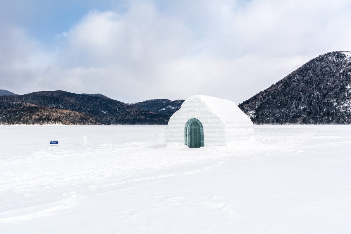
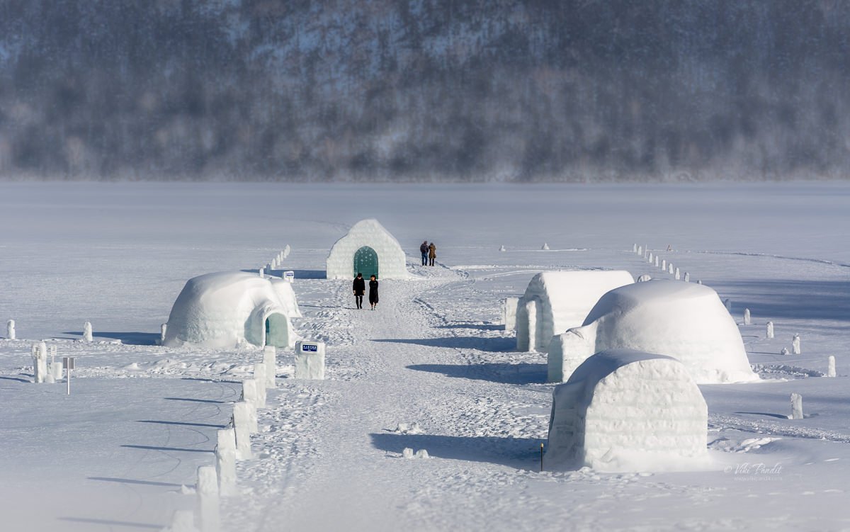
Apart from the scattered igloos, the ice village also features an ice cafe/bar, an open-air bath, and even a chapel – made entirely of ice. As we walked down to the village, the first ice structure we came across was the ice bar. We didn’t bother to go inside as neither of us was thirsty for a drink in the chilling cold.

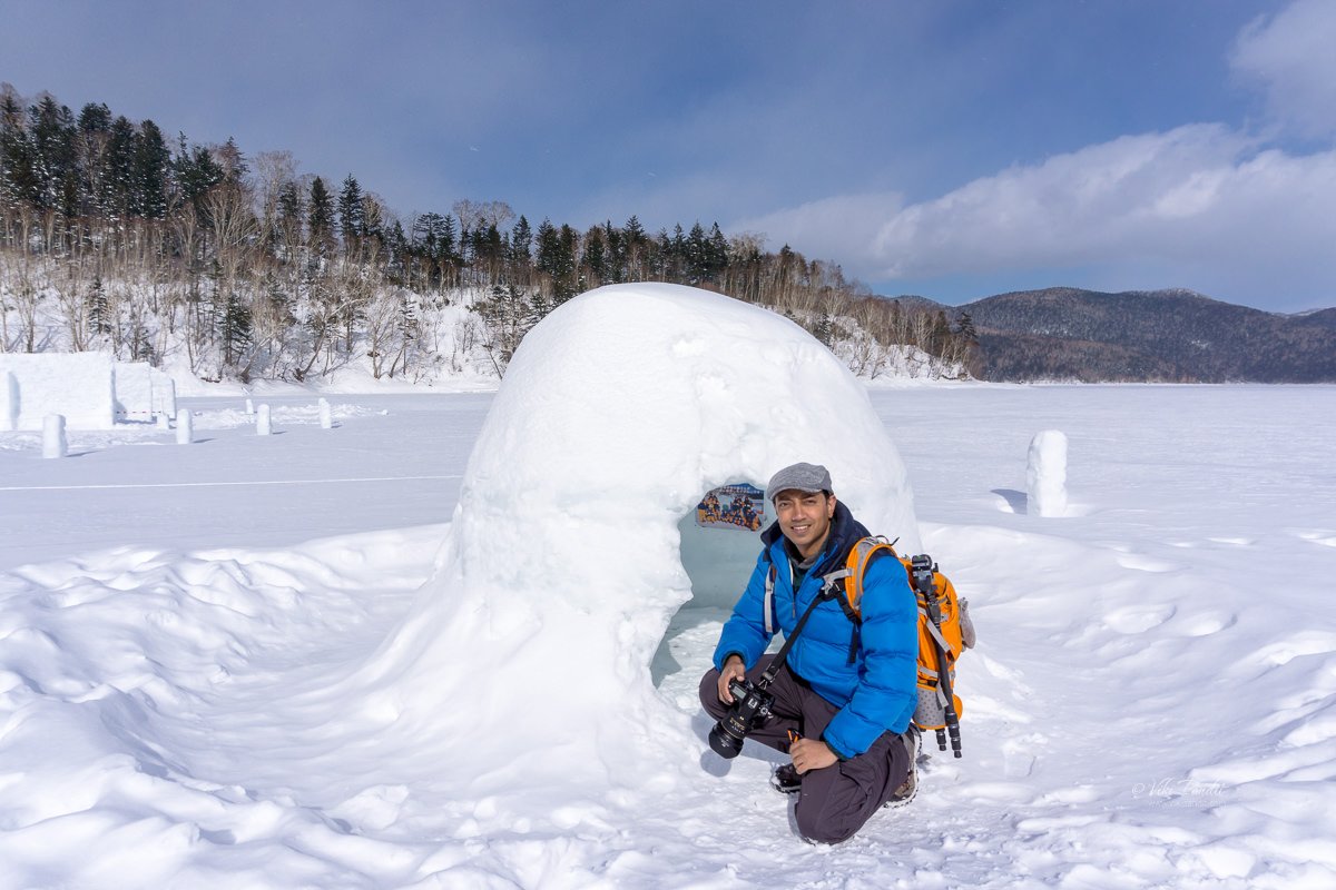
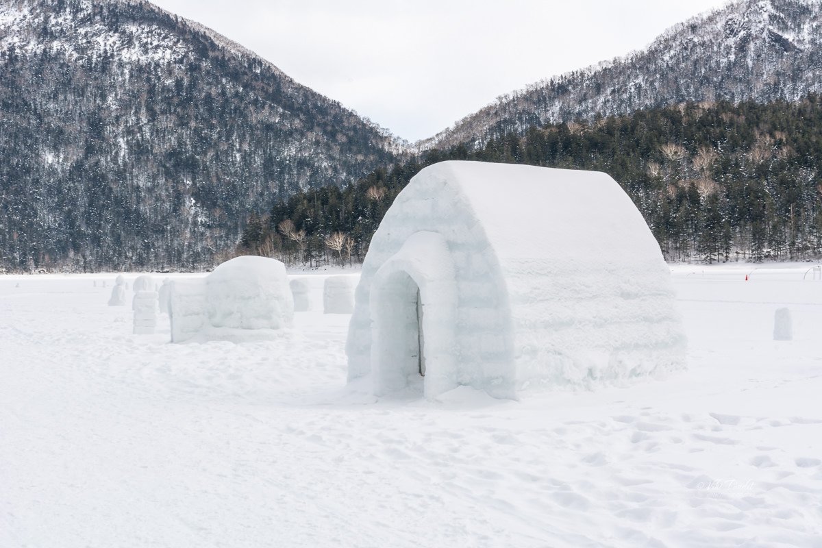
Once in the center of the village, we spent some time admiring the igloos in this remote Hokkaido village. I kind of took a liking to this one 🙂 It was not very well made but it was kind of private and cozy.

As we ventured to the other structures, it was clear that the construction of these igloos was not amateur by any means. They were thoughtfully designed so one can also stay overnight in these igloos if they choose to. Although do note, the temperatures can get as low as minus 20 or 30 degrees centigrade at night.

Some of the larger igloos have seating arrangements made from blocks of ice. The space was good enough for a small group of 5-6 people. Contrary to what I thought, the igloos didn’t feel as cold as I had imagined they would.

On the northwest side of the village, one can find an open-air hot spring. The hot tub is installed in the water during spring. Once the lake freezes, the tub is no more visible, and with the surrounding snow and ice, it appears as though visitors are bathing in ice. What more can one ask for while bathing in warm spring water, surrounded by snow, mountains, and fresh air. It is a private area, guarded by walls and it didn’t seem decent to capture photos of the onsen with people. You have to come and see it for yourself 😉.
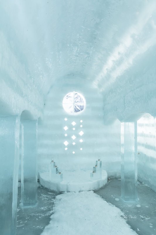
At the far end of the village lies an ice Chapel. The chapel looks like just another igloo from outside. But the inside was beautifully crafted. It must have taken great effort to build something so spectacular just out of ice.

The design of the intricately detailed chapel changes each year and if you check the old photos, the results are always no less than spectacular. From what I hear, many real ceremonies are also held here each year at the chapel.

After coming out of the Chapel, we explored a few more igloos. With clouds gathering, the weather had somewhat become gray by this time.

After investigating the village we wandered off to the far right where a gentleman was offering snowmobile rides. Those looking for a taste of adventure can ride the snowmobile along a pre-designed course over the lake for ¥1000. Neither of us had any experience of handling a snowmobile so the guide drove us across the lake. The guided tour costs ¥2000. In spite of the covered helmets, I could feel the bite of the freezing wind across my face as we drove across the huge lake.

After the cross-lake ride, we loitered around as we still had some time before our 4.10 pm ride back to Obihiro. We walked along a marked trail in the snow. We probably walked all the way to the center of the lake. Looking back, the hotel seemed pretty far.

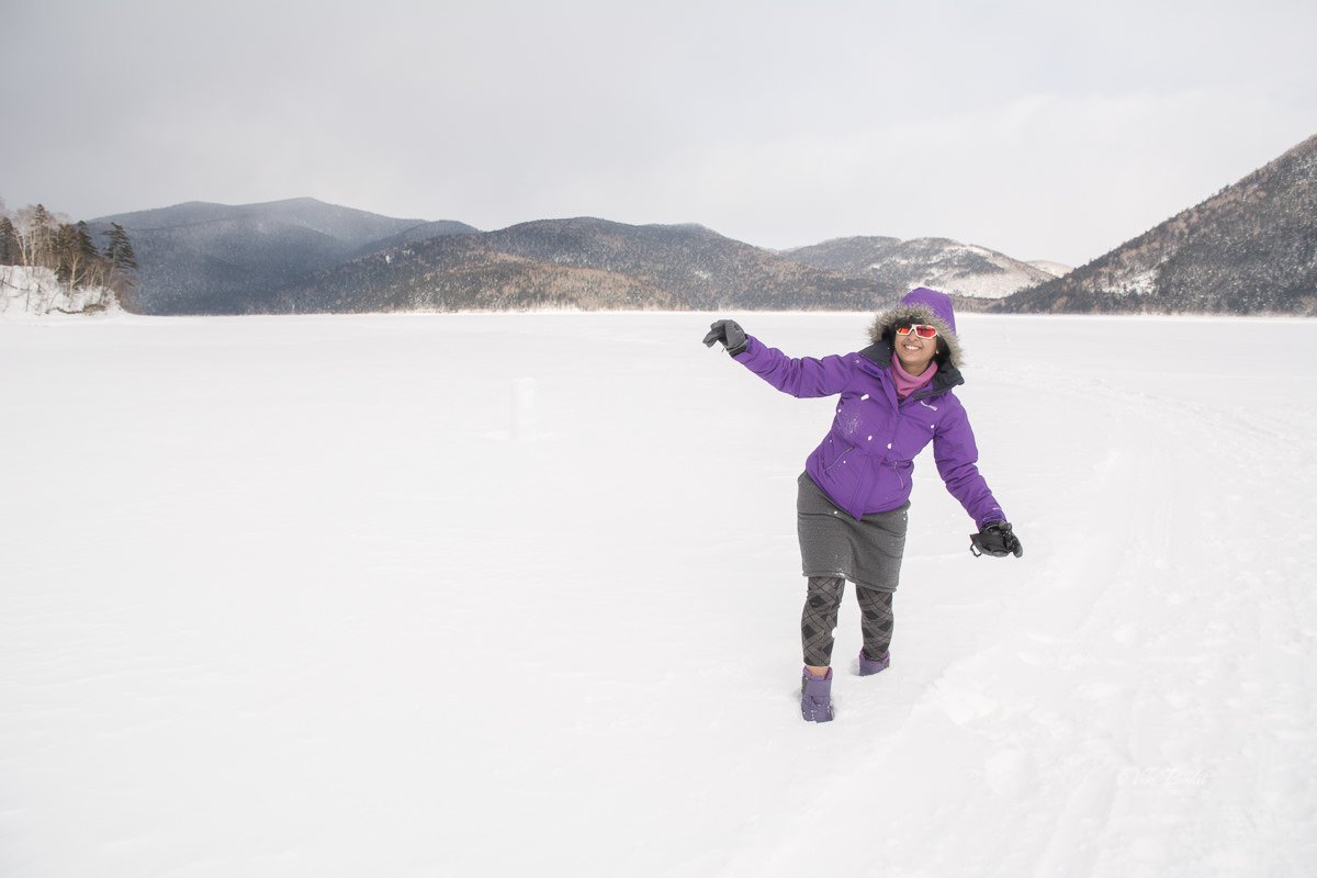
The farther we walked, the more I realized, the vastness of the lake. With not a soul around, walking over the frozen lake is very refreshing. At some places, we would be almost knee-deep in the snow.

At about 3 pm it had begun to snow again over the mountains and we could no longer make out the summit of the mountains in the heavy snowfall. The snowfall was advancing towards us, fast and within a few minutes, the flakes were falling on us. It had started to feel bitterly cold, so we headed back to the refuge of the hotel.

Back at the hotel, we collected our luggage and relaxed on the couch in the lounge. The storm had subsided when the bus arrived at 4 pm. I could see the sun spreading its long shadows over the ice village. We reluctantly boarded the bus and were on our way back to Obihiro. I desperately wanted to stay back to experience one night at this mesmerizing lake.

It was almost 6 pm by the time we reach Obihiro Station. On the way I noticed, the winds had picked up speed. Accompanied by the snowing, it was already erasing all tracks created by vehicles on the road.

We caught the Super Ozora at 7 pm for Kushiro. It was going to be another hour and a half on the train. I mostly slept through the length of the ride. We reached Kushiro at 8.32 pm. The Kushiro Prince hotel was a couple of blocks away and we walked to it. I still have to get accustomed to the way the roads get so deserted in these parts. People in these northern regions sure shut down early.

We were also tired from all the walking, so right after checking in, we had a quick dinner and went to bed.

Lake Shikaribetsu igloo village was a memorable part of our trip to Japan. Spring will be here in a few weeks’ time and the village, like an ephemeral dream, will gradually melt away into the lake, but the beautiful moments I spent there and its surrounding mountains will forever be etched in my memory.

Thanks for reading. I would love it if you could take a moment and leave me a comment on my story. If you have any questions, don’t hesitate to ask. Tomorrow we go on a tour of Akan National Park arranged by Akan bus.

Time table for the free bus service from Obihiro to Lake Shikaribetsu

There are 4 buses scheduled every day for Lake Shikaribetsu from Obihiro Station. The timings are:
7:52 | 11:00 | 14:50 | 16:00

From where can I catch the bus for Lake Shikaribetsu?

Obihiro Station Bus Terminal 4 Bus Stop

How much time does it take to reach lake Shikaribetsu from Obihiro Station?

It takes about 1 hour 40 minutes by bus

What is the best time to see Ice Village at Lake Shikaribetsu?

Between February to mid March

Official Website for current information on Shikaribetsu Ice Village

https://kotan.jp/

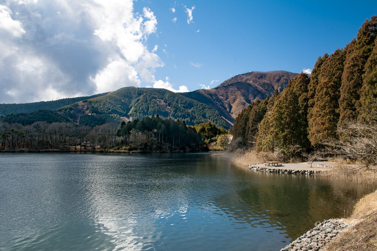
The serene Lake Tanuki

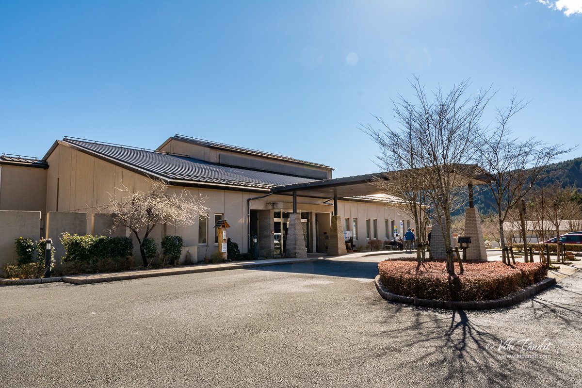
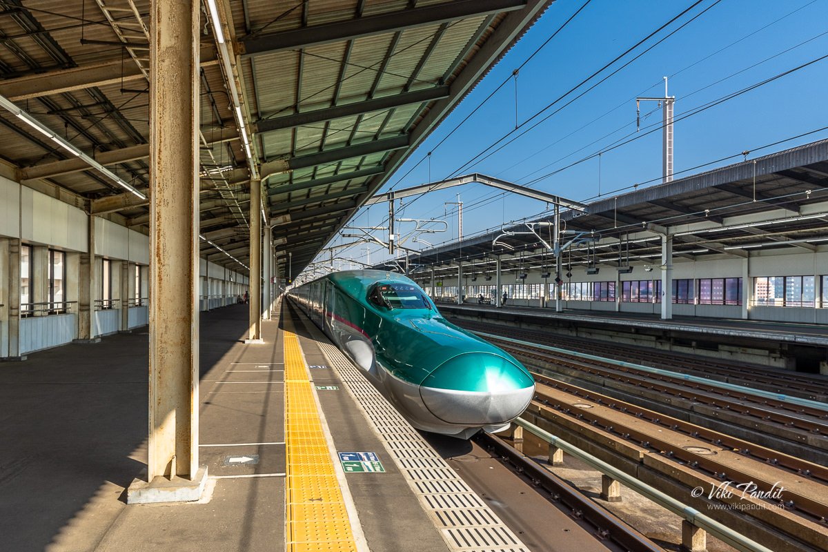
Getting down at Kyukamura-FUJI-Hotel

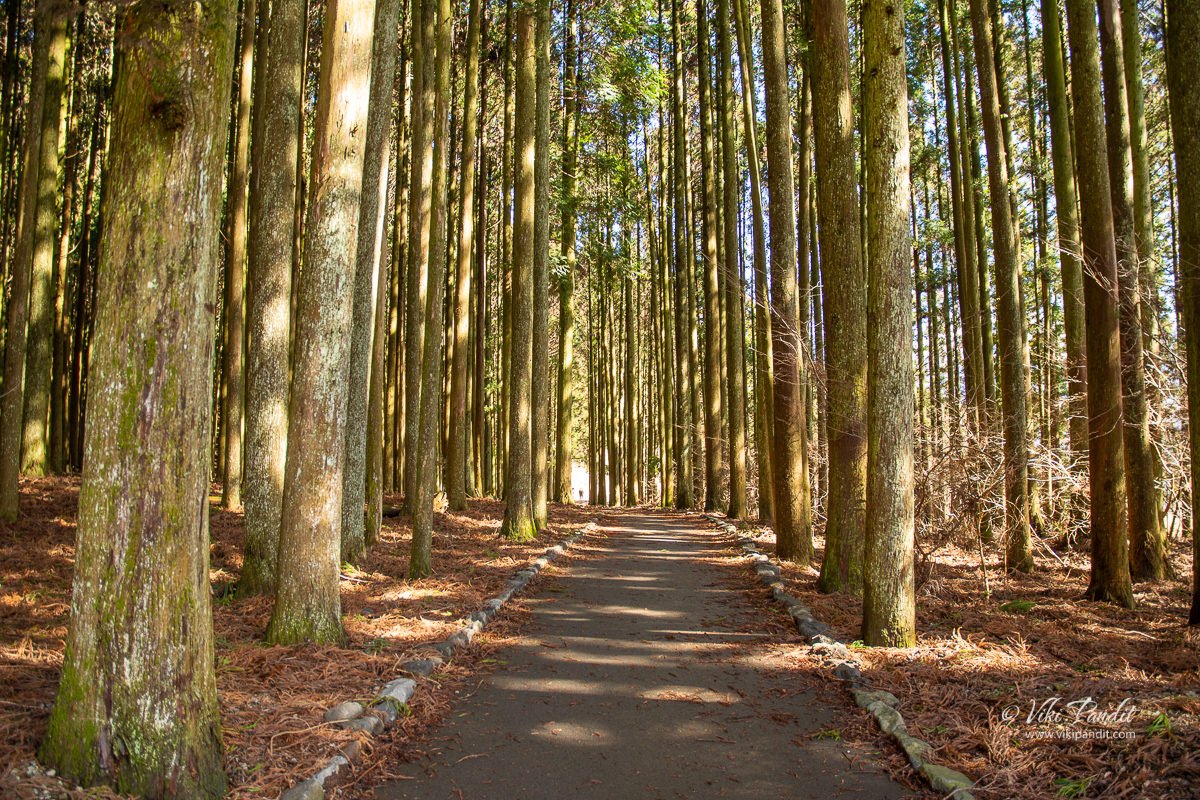
wooded trail near Lake tanuki

Going to Lake Tanuki

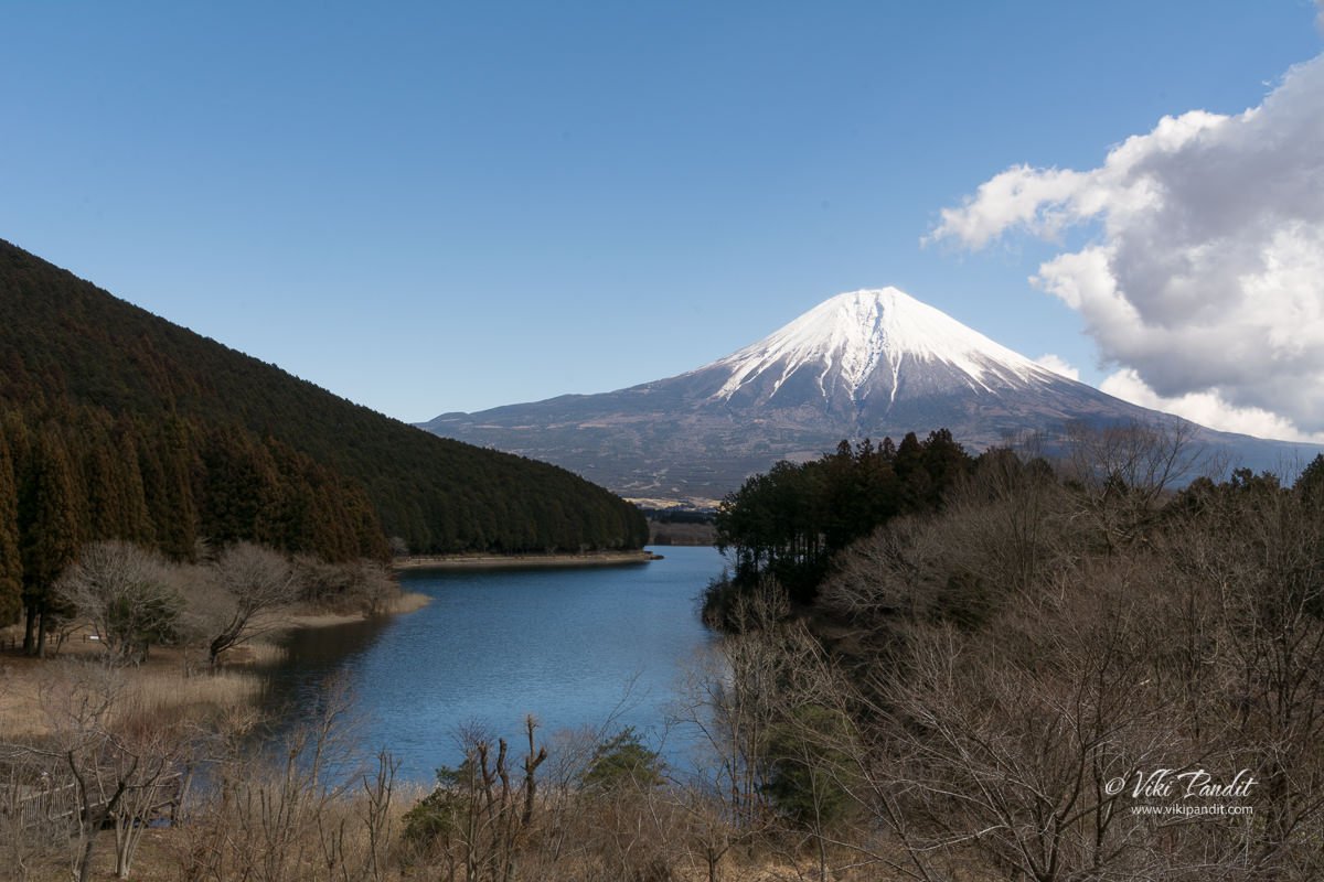
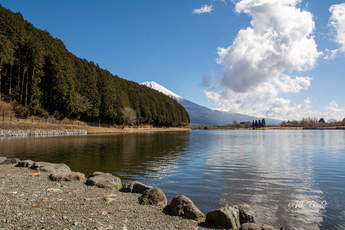
Lake Tanuki and Mt Fuji from Hotel Porch

Walking through the woods

Opening

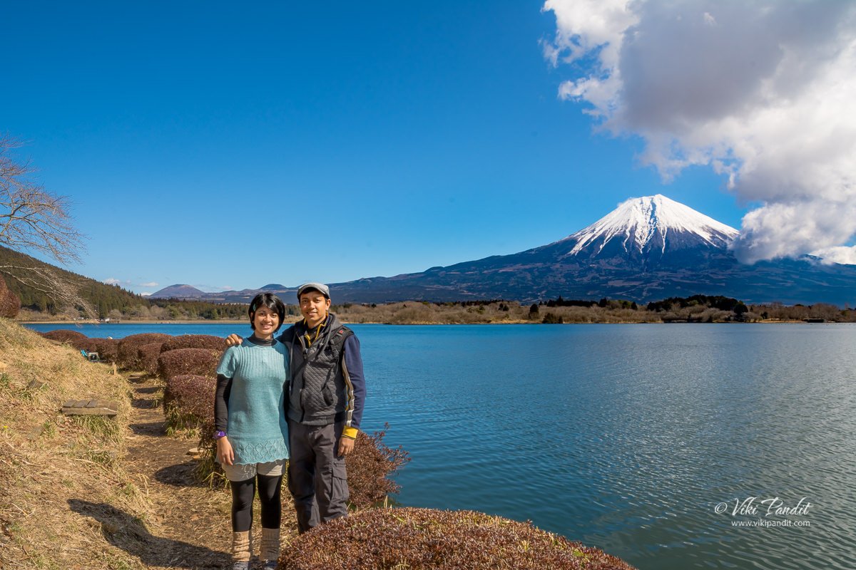
Mani and Viki

Looking back towards the hotel

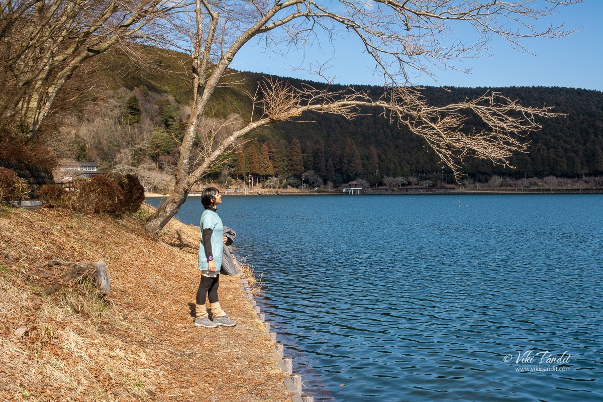
Mani at Lake Tanuki

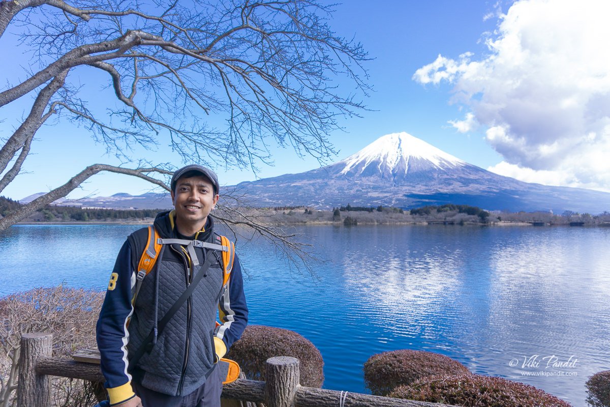
Viki at Lake Tanuki

Thanks for reading

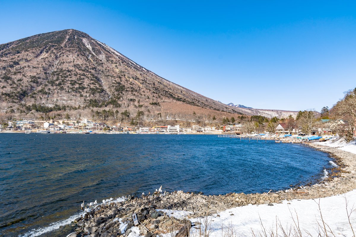
Lake Chūzenji

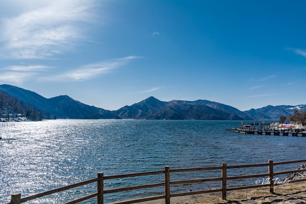
Lake Chūzenji is a scenic lake in Nikkō National Park in the city of Nikkō, Tochigi Prefecture, Japan. It was created 20,000 years ago when Mount Nantai erupted and blocked the river.

Catching the local Nikko to Nikko Station

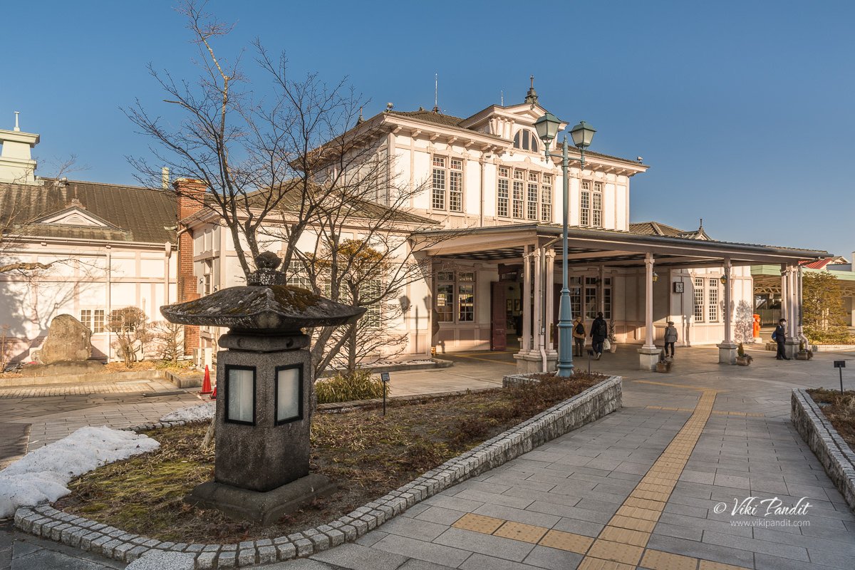
Nikko Station

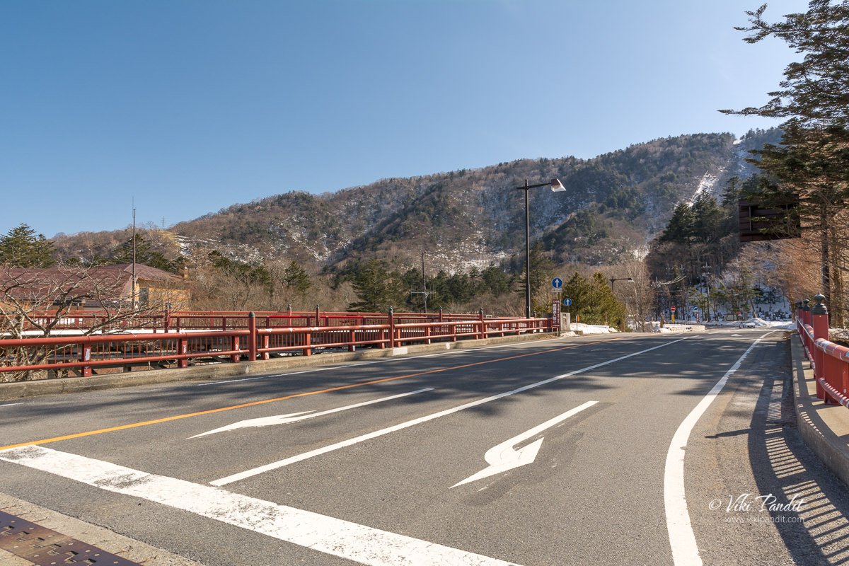
Lake Chizenji Bus Stop

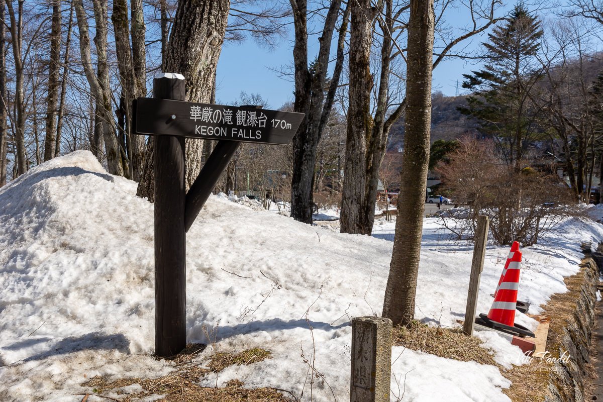
Route to Kaegon Falls

Keagon Falls

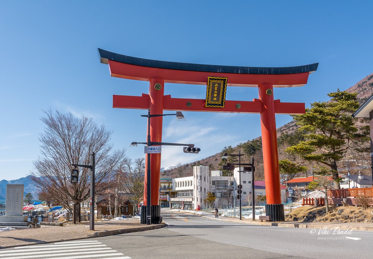
Towards Lake Chuzenji

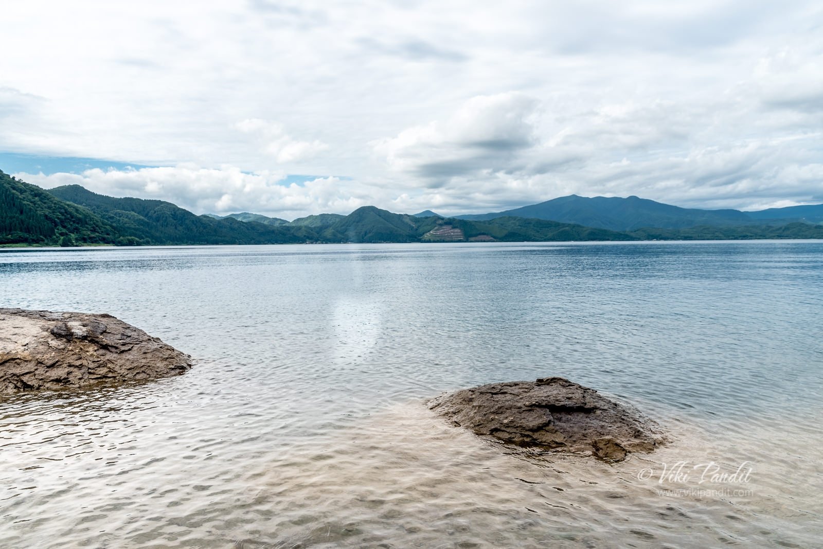
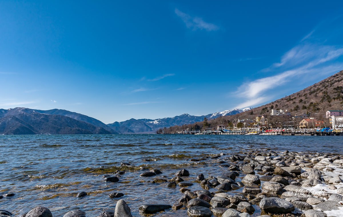
First view of Lake Chuzenji

Walked towards the side of the lake.

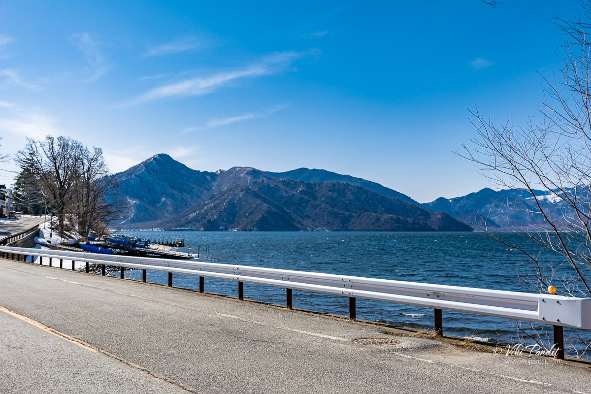
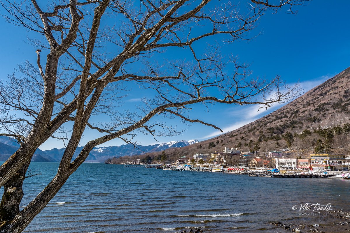
The road is lined with many small resorts and inns.

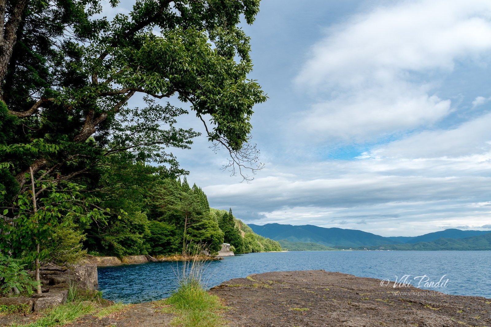
From this angle you can catch the mountains with the lake.

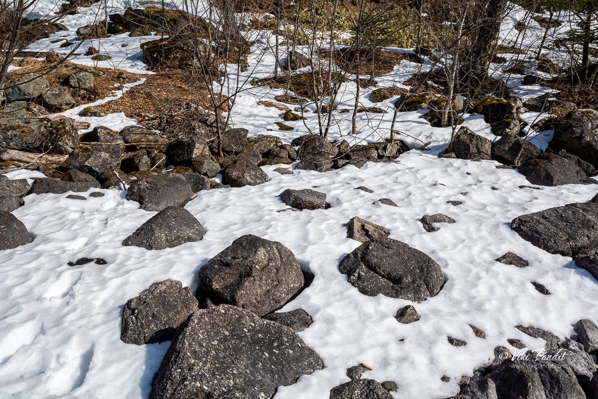
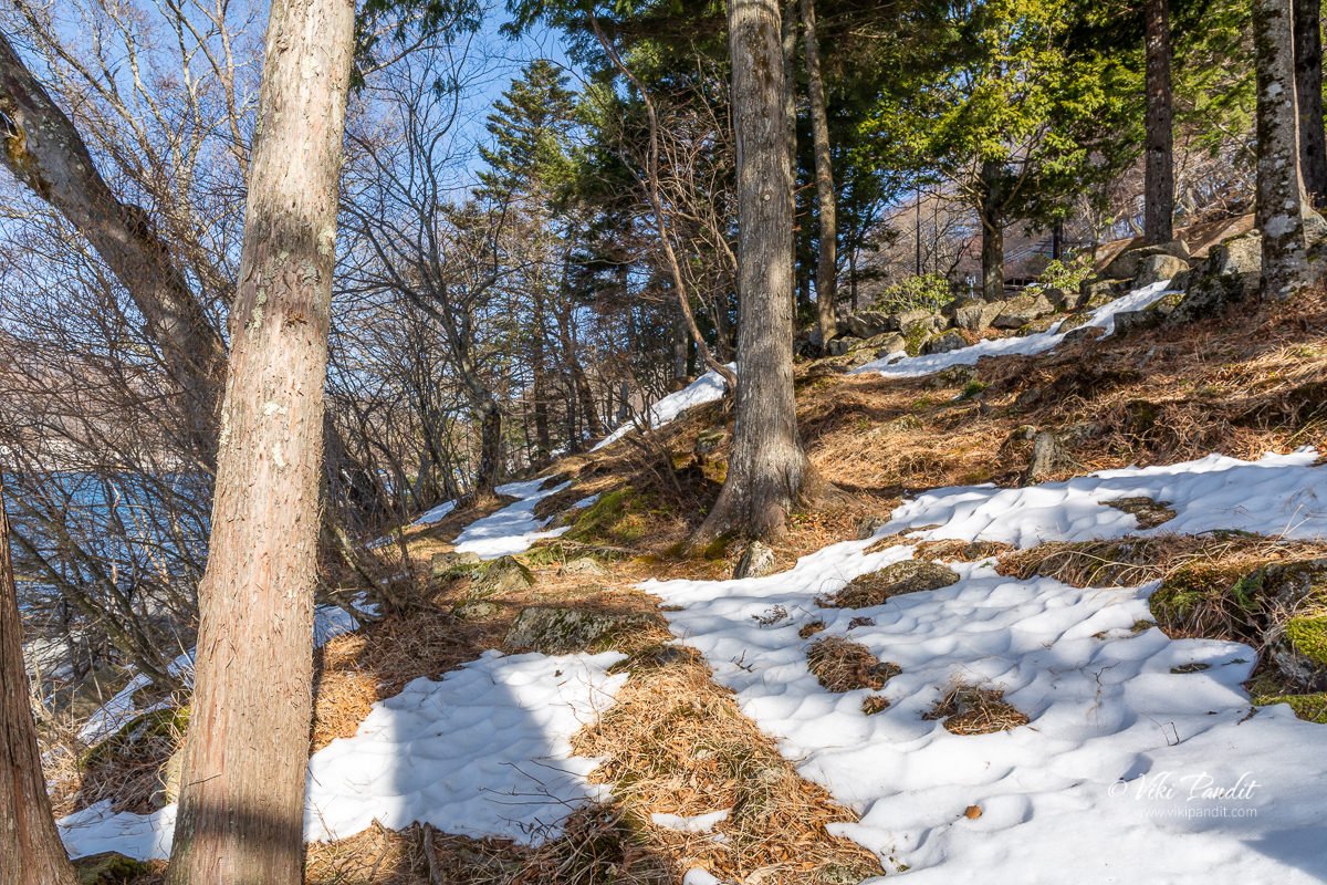
As I went farther, I found more snow covered areas.

Entered a wooded area beside the lake.

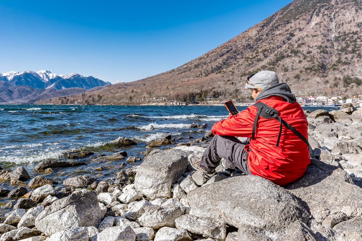
Sat there for a while.

caught the beautiful lake

started my walk back to the bus stop

the lake was looking pristine in the late afternoon.

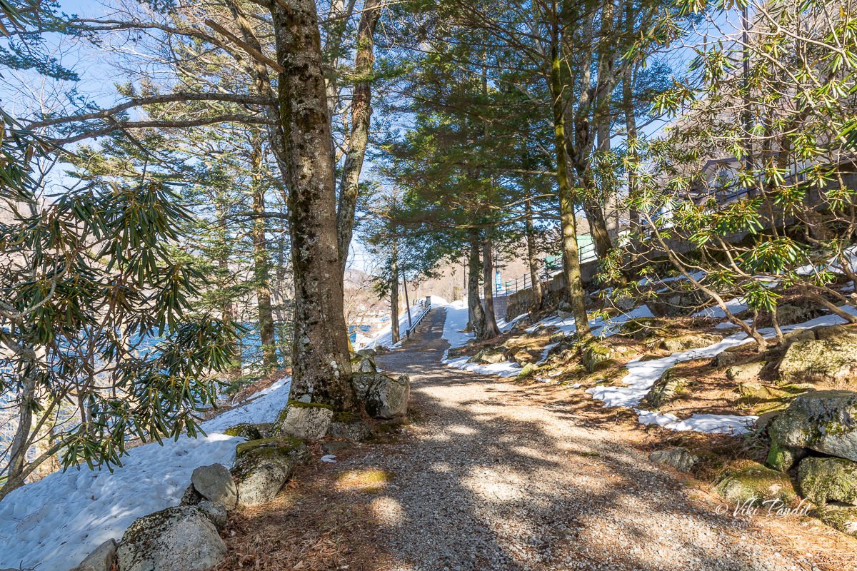
the path towards the bus stop.

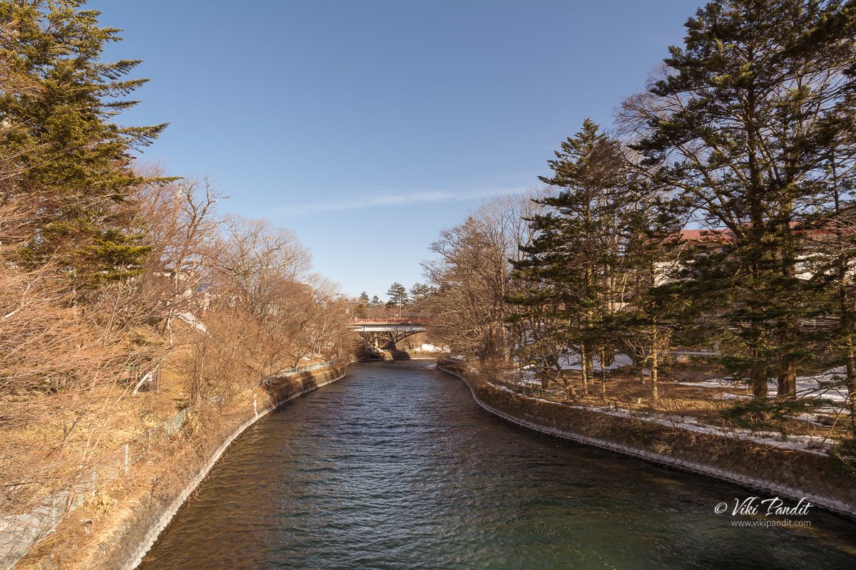
before going to the bus stand, caught the river

Thanks for reading!