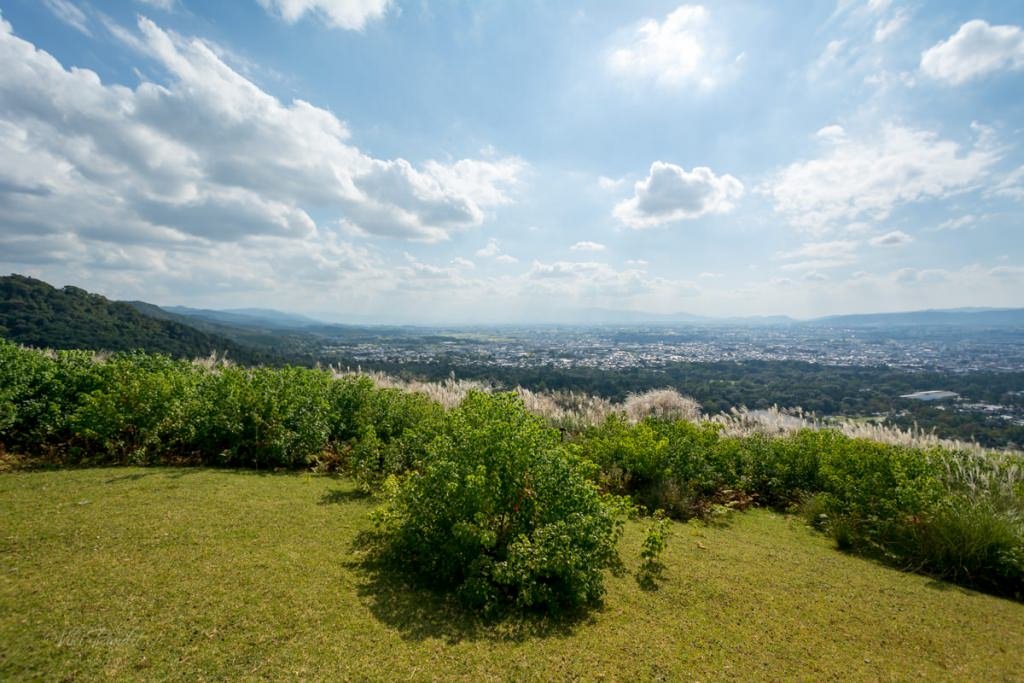
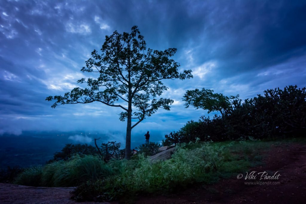
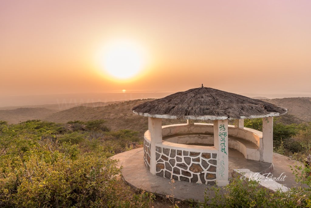
Ride to Kalo Dungar

I am at Kalo Dungar, some 50 km north of Dhordo tent city, on the top of the Black Hills. The highest point in Kutch, offers a bird’s-eye view of the Great Rann of Kutch. From here, the entire northern horizon vanishes into the Great Rann, the desert and sky becoming indistinguishable on the horizon.

Drive from Dhordo Tent City to Kalo Dungar

I and my travel companion – Mani, were staying at the Dhordo Tent city. Every year, the government of Gujarat holds a four-month-long festival known as ‘The Rann Utsav’ starting from November to February. The stay at the Tent city includes a free bus tour to Kalo Dungar.

The route to the hill is not very clearly marked. It is best to visit Kalo Dungar before sundown to avoid getting lost on the secluded roads leading to the hill. Our driver, though being a local, got lost twice and had to backtrack to get the bus back on the correct route. Although if you do get stuck at the hill, there is a dharamshala at the top where you can find shelter and basic food.

Even at 462 meters, the hill can still pose a challenge to the novice driver with roads inclined at very steep angles. Halfway up the hill, for a moment the bus driver almost gave up looking at the steep terrain.

Eventually, after a lot of coercing, laced with encouragement from fellow tourists, the bus reached the parking zone, which lies a little distance away from the top. From here local jeeps took us to the peak for Rs. 20 per head. It’s not much of a distance, probably just a way to allow the locals to make some earnings.

While going up, looking down from the back of the jeep, I realized that no bus would have made the drive to the peak. The jeep dropped us off in front of the Dattatreya Temple.

Just opposite the temple lies an Army outpost. This is one of the places where a civilian can get closest to the Pakistan border,  and there is tight security around the hill.

Dattatreya Temple on Kalo Dungar

The hilltop is also the site of a 400-year-old temple to Dattatreya, the three-headed incarnation of Brahma, Vishnu, and Shiva in the same body. Many fables and tales are associated with the history of the Kalo Dungar. One of them says that Dattatreya happened to pass by this hill while walking on the earth. While admiring the barren landscape, he found a band of starving jackals. He offered them his body to eat and as they ate, his body continually regenerated itself.

Some people differ saying that it was actually a holy saint named Lakkh Guru, a worshiper of Dattatreya who used to live there in an ashram. One day a pack of wild jackals appeared in his ashram and stood expectantly in front of him. When he realized that they were famished, he offered them a simple meal of rice and dal, the staple diet of his ashram. Since that day the jackals started coming each day, day after day.

Because of this, for the last four centuries, the practice of feeding jackals still continues to this day. The priest of the temple prepares food and serves it to jackals every morning and evening, after the aarti (praying).

Beside the temple is a makeshift tent selling Gujarati handicrafts and traditional dresses.

From here we were on foot, making our way upwards towards the topmost viewpoint. People with a disability or just plain unfit can avail the use of beautifully dressed Camels, who can carry them to the top.

The road though steep, is an easy walk and we were hardly challenged as we reached the top viewpoint within a few minutes.

In the distance, despite the haze, I was still able to make out the rectangular salt fields. These are the lands of the Agariya tribe, traditionally salt farmers, who have lived here for centuries. Working every day under a scorching sun from mid-October to June, the Agariyas harvest almost 75 percent of India’s overall salt produce.

Across the Black Hills, staring into infinity, one can realize the tremendous effort of the Sindh merchants, who undertook the crossing of the Great Rann for trade in the olden times.

Why is the Kalo Dungar called Black Hill

Well here is another interesting story. It is intriguing why the locals refer to this hill as the Black hill. There is not a point on the hill that is remotely associated with that color.

Though not literally black, the hill is known so because, in olden times, the merchants returning to Kutch from Sindh used to be guided by this lonesome hill in the grim desert, which used to appear black either because of the shadow cast by the sun or because of the dense forest cover. Just like the North Stars guides the lost people at sea, Kalo Dungar used to act as a marker so the caravans of people crossing the desert would follow it to understand their location.

There weren’t many tourists at the top. A cemented platform with makeshift benches provided relief to those who had tired from the climb. A small structure stood below us shaped like a hut with the words “Suswagatam” painted, which means “welcome” in Hindi.

We wandered around immersed in the beauty of the surrounding. Local kids in their teens would, from time to time, come around offering tea. A few of the brave-hearts had ventured beyond the cemented platform into a narrow trail that went further to the edge of the hill.

The Sun gradually slipped into oblivion. After taking a few shots of the picturesque landscape we started walking back towards the bus.

While driving back, there was a section on the road which our guide brought attention to. He reported that in that 4 km stretch of the road, vehicles roll down in neutral gear at speeds of 70-80 km/hr.

However, a quick search on the internet informed me that the movement of the vehicle is only because of the steep slope and there was no anomaly causing it. Experts from the Indian Institute of Technology (IIT), Kanpur and Institute of Seismic Research (ISR), Gandhinagar have concluded that vehicles suddenly gain speed in the descent only because of the steep slope. So much for the magic theory.

Going back was thankfully devoid of any adventure and we reached Dhordo in an hour’s time.

How to reach Kalo Dungar using public transport

Kandva village is the closest inhabited village which is located around 25 kilometers from Kalo Dungar. Reaching the hilltop by public transport is difficult; the only bus travels there from Khavda on weekend evenings and returns in the early morning. Hiring a jeep from Khavda is the better option. Bhuj is almost 90 km away and a day tour from Bhuj would be quite taxing.

People who want to see the Great Rann of Kutch from a different perspective must head up to Kalo Dungar. In my opinion, staying at one of the resorts in Dhordo is the best option for enabling a good experience of Kalo Dungar. The drive takes about an hour and one can stay a bit late after the sunset and still make it back to the resort quickly.

Thanks for reading. Please leave me a comment if you liked the post or follow my story as I visit Mandvi Beach on the Arabian Sea.

Hike to Mount Wakakusayama

It was a lovely sunny day. I packed my gear and headed towards Nara Park. I didn’t have anything specific planned, just wanted to go over there and relax among the lovely deer herds.

Once I reached the Deer Park, I bought some senbei for the deer. I was just wandering about when I noticed the alluring green meadows of Mt. Wakakusa, just east of Todai-ji. I find hiking to be one of the most relaxing and rewarding activities. So I set off along the path up the beautiful hill.

Mt. Wakakusayama is also known as Mikasayama or Mount Mikasa. It’s real claim to fame is being set on fire on the fourth Saturday every January during Wakakusayama-yaki, also known as the Grass Burning Festival, to commemorate a historical battle among monks of Todai-ji and Kofuku-ji.

Myths surrounding Wakakusayama

According to local folklore that goes that many centuries ago, sometime during 1760, the monks of two of Nara’s most powerful Buddhist temples, were locked in a conflict regarding their boundaries. The conflict grew into a big fight and Mt. Wakakusayama ended up being torched.

In remembrance of that horrid day, even today a torch is lit with sacred fire at the Kasuga Taisha shrine, and carried by monks in a procession to the foot of Wakakusayama, where the hill is set on fire. It usually burns for around 30 minutes before a show of fireworks lights up the sky.

Contradicting with the above, there is another story that is connected with the keyhole-shaped tomb called Uguisuzuka Kofun on the top of the third hill of Mt. Wakakusa.

In the past, a superstition developed that if you burn the mountain, you can repel the ghosts that return from their tombs. It is said that as a result, people passing through the Wakakusayama started to set the mountain on fire.

These wildfires repeatedly began threatening the precincts of Todai-ji and Kofuku-ji specially, in winter when the grass turns dry. In December 1738, Nara Magistrate’s Office put up a notice board prohibiting people from setting fire to the mountain. However, arson by superstitious people continued to occur. To avoid such dangers, towards the end end of Edo period, Nara city established a rule to allow people to burn the mountain grass in the presence of government representatives, along with those of Todai-ji Temple and Kofuku-ji Temple.

The Yamayaki (mountain burning) festival is also said to be derived from these superstitions to comfort the spirits of the dead at Uguisuzuka Kofun located at the top of mountain.

Hike to Wakakusayama

At the base of Mount Wakakusa, there is an admission booth that accepts ¥‎150 as entrance fee. Please note that there are two entrances to Mt. Wakakusa, the South Gate and North Gate. These gates are located about 300 meters apart.

The mountain slope is very gentle, more like a hill. Mt. Wakakusa consists of three hills and is 342 meters high. It covers a total area of 33 hectares with lush green grasses, specially during summer months.

The trail to the summit are opened only from third Saturday in March to the second Sunday in December.

The grassy slope is just amazing, coupled with the beautiful herds of deer roaming around. There are two routes up the hill, I took the left one. It attracts less tourists because it is steeper. One has to climb some steps before hitting the well maintained forest trail.

Fall was just around the corner and dry leaves crunched underneath my shoes as I hiked up with my camera. A few minutes into the hike, I was surrounded by towering cedars of the Kasugayama Forest. Sudden bursts of wind would blow the dry leaves along the path with a loud howl. As I hiked up the trail, occasionally one of the Shika deer would peek through the trees in the dimly lit forest. They are a lot hesitant than their kin who dwell near the Todai-ji temple, who would literally chase you down for food.

I took my time making my way up the trail, enjoying the relative solace of the forest.

I reached the first summit in about 40 minutes. The grass was green and the wind was gentle. A couple were sitting there with their dog. I greeted them with a subtle, “Konnichiwa!”

It was a beautiful day, but only a handful of tourists had braved the hike. I lay down on the inviting soft grass watching the quite city of Nara from above. The hill overlooking the city, with the gentle cool wind on a sunny day made me forget about everything for a while.

After relaxing for a while on the slopes, I went back on the trail towards the summit. The weather of Nara is such that even if its hot, you will always find a strong breeze blowing across most of the time. It keeps you energized on the hike.

The hike thereafter is relatively a lot easier. The trail is marked by dense Kans grass on both sides.

After a while I reached a small white shack. If you reach the white structure, it means you are almost at the end of the hike. From here a series of steps will take you to the summit.

Time to hike to Wakakusayama

The peak is only about 342 meters but it gets quite windy at the top. Overall excluding the time I spent at the first summit, it took me around and hour to reach the top of Wakakusayama. At the top of the mountain is a nice vantage point to view the quaint city of Nara.

It was not long before a deer came around attracted by the smell of food in my pocket. They are always hungry! I fed it the senbei I had brought along. It didn’t last long, as we were joined by more deer, and suddenly I found myself being chased by them.

As evening drew in, I started my walk down the hill, hoping to come up here again sometime during the evening to catch Nara with its lights.

Thank you for reading. Please leave me a comment or ask away if you need any information on hiking up the lively mountain or follow my story as I visit the Yakushi-ji temple in the suburbs of Nara.

Opening Hours

9:00 – 17:00
Shin-Mt. Wakakusa Driveway timings: 8:00 – 23:00 (- 22:00 in Winter)

Annual Closure

From the Monday following the second Sunday in December to the Friday before the third Saturday in March

Admission Fees

Adults: ¥150

Night Trek to Savandurga

Savandurga is an amazing place for a photo-op… but Whoa! the fort of “death” and that too on my first trek!!

History of Savandurga

Located at a distance of 64 km west of Bangalore, Savandurga is reputed to be the highest monolith in Asia. It comprises two looming granite hills, Karigudda, the Black Hill and Biligudda, the White Hill, both around 4000 feet tall. Historically, the hills find a mention in the records of the Hoysala period in the 13th century. In those times it was referred to as Savandi hills. Later during the reign of Hyder Ali, this hill served as a fort prison from where it was said there was no escape but via death. Since then the locals began referring to it as “Mrutyu Kupa” which vaguely translates to “the fort of death.”

The nearest town to Savandurga is Magadi, known for being the birthplace of Kempe Gowda who is kind of looked at as the founder of the city we now call Bangalore. More recently, the hills have been featured in the making of David Lean’s movie A Passage to India.

The Journey to Savandurga

I was going on this night trek to Savandurga along with a trekking group. My pick-up point was at Central Silk Board at 11 p.m. It was my first trek around Bangalore and I was duly very excited. The tempo bus was waiting, filling up as more and more trekkers trickled in. We hit the road by 11:30 p.m. I had been searching for good trekking groups for over a year and this is the first team that impressed me even before I started on the trek. The other trekkies joining us from various parts of bangalore got introduced to each other on the bus during the ride. Most trekkers came in groups – friends from office or were couples. I was the only loner, but I had my camera, that more than made up for it.

I am new to Bangalore but I could vaguely identify the route towards Savandurga, since it goes along the same route as I had taken when I had been to Manchanabele Dam just a few weeks before. Once we left the city behind, the stars were much brighter, a rare sight during monsoon around Bangalore.

Savandurga Forest

Savandurga is surrounded by a thick forest of scrubs, said to harbor around 60 different tree and 119 shrub species. The hills are also home to the endangered Yellow-throated Bulbuls. The road became a bit bumpy as we entered the Savandurga Forest. On the way we passed the Manchanabele Dam. Created by the waters of the Akravathy River, Manchanabele Reservoir itself is a lovely place from where you can get an enticing view of the Savandurga Hill.

We reached the base of the hill near the Narasimhaswamy Temple at around 1 am. Were were going to conquer Biligudda tonight! It is a relatively easier climb compared to Karigudda, which requires permission to climb. We got an energy pack from the organizers comprising a juice tetra-pack, an energy-bar and a pack of biscuits.

Trekking to Savandurga

Within a few minutes our local guide, Anna, came running with his huge torch. He is a local resident and knows his way around the hills. We started the climb at around 1:15 am.

Trekking in Savandurga can be thrilling as well as challenging as I discovered. It’s a smooth monolith and at certain points, very steep. Luckily we didn’t have rains and the trail was dry. I did though make a big mistake being in my Woodland’s. It’s a bad idea to trek in Woodland shoes. They are heavy and not good at getting a grip on the rocky surface. One should always get a rubber sole shoe and preferably one that is light.

We took a break midway through the climb. The clouds were flowing by us and it was time for some ghost stories. During story-telling, Ishan shared with us his experience of when he and his friend landed up in Bhangarh, a ghost village.

Sitting on the cold rock, I could see the lights from the nearest town of Magadi. Suddenly out of nowhere, a thick cloud enveloped us. In the haze, the light from our torches glowed like beams crisscrossing each other. It was an unforgettable experience. We spent a few minutes there and started again.

After some 45 minutes into the trek, we reached a makeshift shed.  There is a small natural pool beside the Mantapa. We took a break here and had a nice and warm bonfire going.

Some of the guys took a quick nap. I was too excited to even think about sleep. I scouted around for places where I could get a good view of the sunrise.

By 5:30 a.m everyone was wide awake and ready to move on for the final climb. We hit dawn at around 6 a.m. The view was ethereal. It appeared we could just jump and snatch away a bit of the clouds.

The sun was hidden behind the heavy clouds so we weren’t able catch a glimpse but at some places the rays would somehow peek through. As light improved it also revealed a small pond near our shack.

Savandurga Peak

There was a little drizzle and my shoes had become very slippery. The second part of the trek to the top of Biligudda was not very tough and we were there in around 30 mins.

We sat there basking in the conquest. At the top of Biligudda is a small shrine dedicated to Nandi, Lord Shiva’s sacred Bull. This shrine/tower was commissioned by  Kempegowda in the 17th Century.

Beside it there is a broken rock structure that is referred to as the Superman Rock. Why? well according to GBL anyone who stands on that rock looks like a superman 🙂

We stayed at the peak for an hour, immersed in the amazing beauty of mother nature. As the Sun started to become harsh and we started the descent at around 8 am. GBL has a “No Littering” policy, so no one is allowed to litter, beyond that they also gave us an option to carry back any plastic garbage left behind by irresponsible trekkers to Bangalore. We collected some 4 big bags of tetra-packs and soft drink bottles. While descending, we took a detour and some of the guys/gals did some rock climbing. I didn’t. Rock climbing is not my thing, so I try to skip as much as I can.

The Descent

While climbing down we passed a fort wall, almost in ruins. It was only now that in the bright light, I was able to see properly the steepness of the hill. At night when we were climbing it didn’t feel so steep. We reached the base in an hour. I was exhausted. At the foothill there is a village by the same name.

From what I hear, Savandurga hills are frequently visited by pilgrims round the year, who come to visit the Narasimha Swamy and  Savandi Veerabhadreshwara Swamy temple situated at the foothills. The Narasimhaswamy Temple was abuzz with people paying respects and praying for happiness.

Just beside the temple, the guys from GBL had arranged for some delicious Tatthe Idli, a local delicacy for breakfast. I loved it and possibly ate a bit too much 🙂 . We had some coffee, took some rest and headed back to the bus. On the way back we stopped for a few minutes at the Big Banyan Tree which is near to 400 years old. Some monkeys came down to check my camera gear and went back annoyed when I didn’t comply 🙂

Thanks for reading! It was my first night trek and it was fabulous.  I do have a sense of achieving something beyond my limits on one of the jewels of the Deccan plateau. The trek is relatively easy and photographers looking for a easy outing amidst mother nature are going to love it.

Weekend in Ooty

Ooty, a vast sea of breathtaking landscape, dense forests, mesmerizing flowers and flowing tea gardens.

Udhagamandalam??

Not a lot of people are aware that the real name of Ooty, one of the most popular Hill Station in India, is Udhagamandalam. Ooty is a paradise on Earth and a delight for nature lovers. Elevated at around 3000 m above sea level, this bouquet of  hills has a lovely weather round the year.

Ooty the “Queen of Hill Stations” is a located in the Nilgiris in the Indian state of Tamil Nadu.  Nilgiris is India’s first International Biosphere Reserve blessed with a fascinating ecosystem of the hill ranges of Nilgiris and its unique bio-diversity covering a tract of over 5000 square kilometers. The Name ‘Nilgiris’ means Blue hills (Neelam – Blue and Giri – Hill or Mountain). The name, the Nilgiris, is because of the violet-blue blossoms of  the ‘Neelakurinji’ flowers enveloping the hill ranges like a carpet during July to December months.

The Hoysala king Vishnuvardhana was the first to lay the foundation of a town here. It later became a part of the flourishing Vijayanagar kingdom from 1336 to 1565. After the fall of the Vijayanagara empire in 1565, the rulers of Mysore gained control over the Nilgiris. Subsequently it came under the rule of Hyder Ali and later Tipu Sultan from 1760 to 1799. The Nilgiris was finally ceded to the East India Company in 1799 by the Treaty of Seringapatam. During the rule of the British, John Sullivan, an avid nature lover re-discovered Ooty and presented it to the rest of the world. He introduced a number of varieties of plants from Europe and South Africa in Ooty, which now form part of the beautiful Nilgiris flora today.

The bus ride to Ooty

We started from Bangalore at night. we had sleeper bus booked from Green Travels. It takes about 9 hours to reach Ooty by bus from Bangalore. The ride was fine until we reached Mettipalyam around 3.00 a.m, after that it gets a bit bumpy. I had initially wanted to take the Nilgiris Train from here, but it would have taken an extra day, so we had to drop that. We were wide awake by the time we passed Connoor at 5.30 a.m. We finally reached Ooty at around 7 a.m. We hired an auto from the bus stand to our Hotel Sinclairs.

By the way, this hotel is highly recommended. It is located at the base of Doddabetta Hill. You can feel the fresh and crisp air enveloping this amazing hill. It also has a great view of the whole city from a small garden upfront. It’s also quite some way from the hustle and bustle of the city and very peaceful.

Lakkidi, Upper Bhavani

lakkidi-upper-bhawani-lake-ooty

The lone tree at Upper Bhawani

We were early at Hotel Sinclairs, the check-in wasn’t until 12 p.m. The guy at the reception told us we could check-in early if we would check-out early when leaving and we readily agreed. We freshened up and had a light breakfast. After taking some rest, we left for Upper Bhavani lake at around noon.

Upper Bhavani is located some 30 kilometers from the main city. The ride to the place is beautiful. We passed several clusters of houses built on the slopes. It’s always better to start early otherwise its difficult to obtain a Jeep. We had to wait for around an hour and half for one to come along. Though the wait is not boring. You can feel the fresh air and immerse yourself in the soft sun. The Jeep ride took us through more twists and turns through “the Cauliflower forest.” It doesn’t really have cauliflowers, the trees just look like Broccoli, hence the name. We reached the back waters of Upper Bhavani after driving for 30 minutes.

Lakkidi is the place I would love to have a fantasy farm-house, like the one they show in movies. Words fail to describe the beauty of the place. The clouds passing by add magic to the already amazing landscape. The water level of the lake was quite low since we went just before monsoon. In the whole area, there is just one single tree. The guide told us that after monsoon when the lake is filled, the water comes up exactly up to the foot of the tree.

Doddabetta peak

Doddabetta is the highest mountain in the Nilgiri Hills at 2,637 meters. We were staying right at the base, so we got an early start on Sunday. The temperature fell rapidly as we reached the peak. It is a good idea to bring some warm clothes when you come here. The entrance is quite crowded with lots of hawkers setting up small food and clothing stalls. I am told the place is always a bit crowded being so close to the city. From the cozy 18° C at the Hotel, we were thrown into 5° C within 10 mins at the Doddabetta peak. Each time a cloud would pass through, it would get even colder. I was barely able to hold my teeth from chattering. The chaiwala was doing good business, we also had some. We spent some time here, but all around us we could see only gray clouds and maybe a couple of mountain ranges in-between. While descending, the road was totally blocked and the queue was huge. Thankfully the going down road was clear and we were able to make our way down.

Mudumalai National Park

Line of Gulmohars at the at the Glenmorgan Dam Reservoir

Rows of Gulmohars at the at the Glenmorgan Dam Reservoir

From Doddabetta, we made our way to Mudumalai National Park. It is located in the foothills of the Nilgiris, a couple of hours from Ooty. The road to the foothills has some 36 steep curves along the way, yes I was counting. One might get dizzy. Thankfully the roads are good and clean. It is heartening to see that Ooty has a “No Plastics” policy. It will do them good in the long run.

The cloudy sky had started to clear by afternoon and the Jeep ride from Ooty to Mudumalai was absolutely serene. It felt really good in the soft sunshine after the blitzy chill of Doddabetta. We weren’t lucky enough to catch much wild animals except for a few peacocks and a herd of Bisons. One has to come early to spot the wild animals. A row of lovely Gulmohars greeted us at the at the Glenmorgan Dam Reservoir, deep inside Mudumalai National Park. A very peaceful place where one can just laze around for hours. While coming back we took a break at the one and only Cafe Coffee Day. The food was good and the break did us some good since we had been travelling all morning.

Pykara Falls

After taking some rest at Cafe Coffee Day, we headed out towards Pykara Lake. This lake is situated some 25 km from Ooty. We had to leave the car and walk for some 15 mins from the entrance. Even though the place is beautiful with lush green surrounding and a series of cascades, the man-made park and railings take away the feeling of “being in nature.” The river has a dam & a Power Plant. Pykara Lake is formed by the back waters of this Dam. Surrounded by forests, locally known as Sholas, Pykara Lake is a lovely place to spend some time in the evening. We spent a couple of hours there and headed back to the hotel by 6 p.m.

Sims Park, Connoor

On the final day of our trip, we headed out to Connoor. The SIMS Park has some colorful flowers beds, lawns and rockeries. On the right are some Hydrangeas. In Japan, its leaves are used make sweet tea. The flowers itself are mildly toxic and should not be consumed.

After enjoying the colors at SIMS, we went a bit further in Connoor towards the Dolphin Peak. It feels like the mountain ranges end here. From the top we could see vast stretches of flat land, like the mountain ranges ended right there. A herd of Bisons were moving around among the tea fields. Nearby a  worker was explaining to the tourists, the process of gathering the best leaves. They also had some tea picker costume for the girls. Mani got into one and obliged me with a couple of cool snaps. There was a small tea shop selling various flavored tea. We bought a chocolate flavored tea from there. By afternoon we were ready to head back to Ooty. We stopped at a very nice restaurant along the way, had some lunch and then headed back to the hotel.

Invalid Displayed Gallery

Botanical Garden

We were back in Ooty by 4p.m. We had a few hours left till our bus ride back to Bangalore so we went for a quick visit to the Botanical garden. The Botanical Garden in Ooty is home to around 650 species of plants and trees. They also have an amazing flower show each year during the month of May. I just lay down on the soft grass looking back at the fabulous time we had at Ooty. We spent some time there till dusk. We were both a bit hungry, so, we walked down the road to a Pizza Hut restaurant.  We stayed there till it was an hours time for the bus departure. We hailed an auto to the bus stand. I had no idea it would take us just 10 mins to reach. We were quite a bit early and the bus stand was desolate. We couldn’t just wait there for an hour so we went back to town center and had a coffee. We came back around half an hour later. The bus was already there.

Back to the world of mortals

Even as we started our ride back to Bangalore, I was already planning to come back again to this fantastical place. Hopefully during Winter.
[su_tabs]
[su_tab title=”Faqs”]

  • It’s not a good idea to visit in the Monsoon. It’s so best to visit this between August – Jan
  • When visiting Doddabetta do get some warm clothes, the temperature falls rapidly here.
  • The Botanical Garden conducts a flower show in the month of May.
  • if you are searching for the Nilgiris Train on Indian Railways website to book tickets, use the name Udhamangalam. Ooty will not give you any search result.
  • Full day (8 hr) car rental costs around Rs. 1500

[/su_tab][/su_tabs]